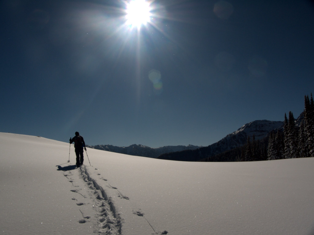
The following is the account of my 2005 thru hike of the Superior Hiking trail as told through photos and the daily journal I kept along the way.  I did the trip in lightweight, but not ultralight backpacking style (gear list). I hiked the SHT end-to-end between May 1st and May 15th, 2005.  The first eleven days I was solo and had no resupply, the remaining days I was joined (and resupplied) by my girlfriend at the time and her two dogs.  Â
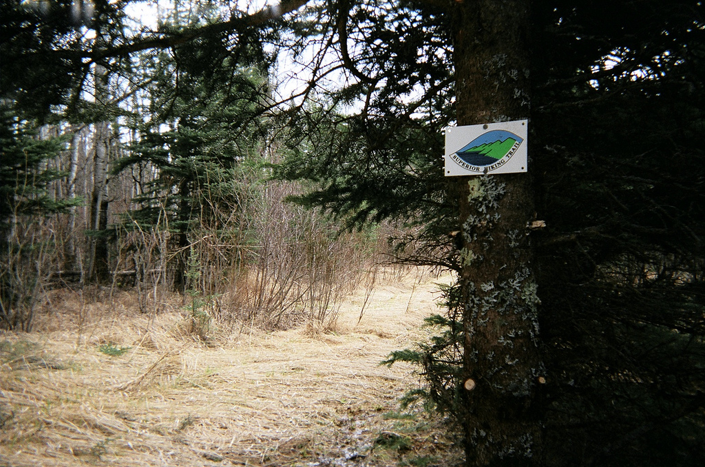
If you are planning a Superior Hiking Trail thru-hike I highly suggest using trip reports like this as well as others to help plan your trip. Also join the Superior Hiking Trail mailing list as it is frequented by dedicated SHT hikers willing to impart copious wisdom regarding conditions, camping, water availability, re-supply, and more.
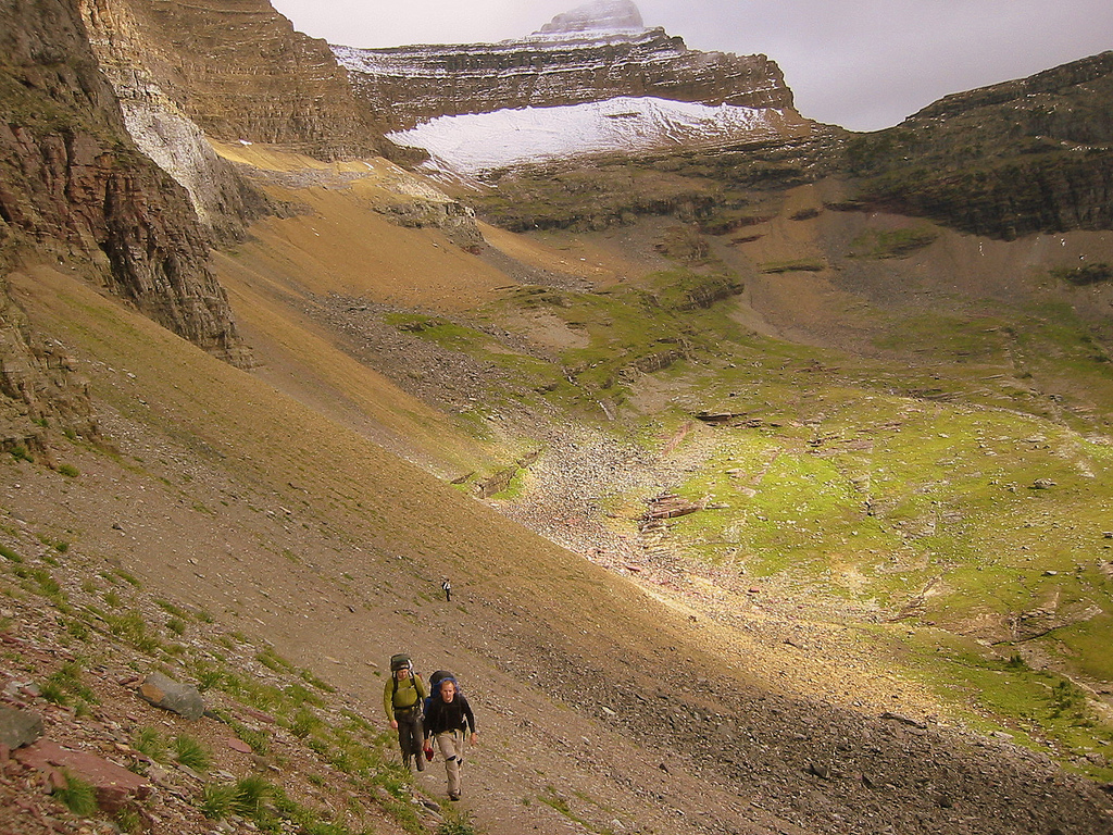
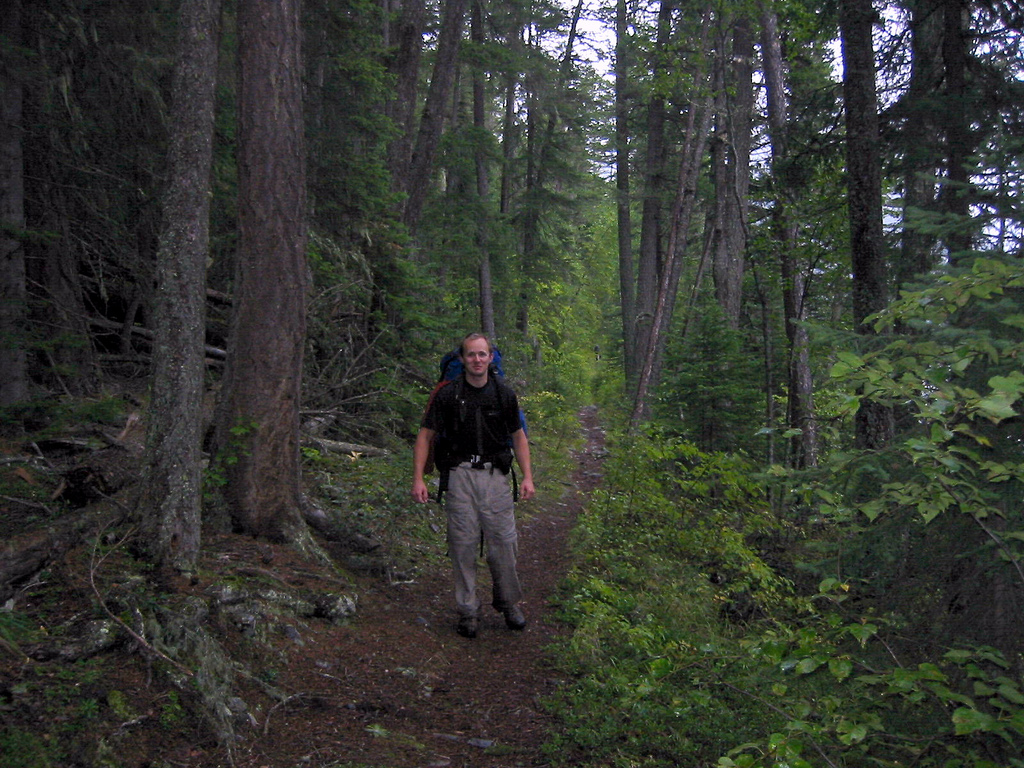
I grew up in Minnesota in a camping family but fell in love with backpacking in my late-twenties. I became quite a hiker and backpacker while working on a trail-maintenance crew in Glacier National Park, West Glacier, Montana. Spending so many days and nights in the backcountry gave me the realization that I could, without too much difficulty do an average length thru-hike.
I’d heard tell of the Superior Hiking Trail and had set my mind to hike it some time previous to my undertaking. I ordered an ancient copy of the Superior Hiking Trail Association’s guide to the trail from a used bookseller over the internet. I also ordered the official set of four maps from the SHTA themselves at the http://shta.org website. Gayle and the staff there are very helpful and willing to answer your questions over the phone.
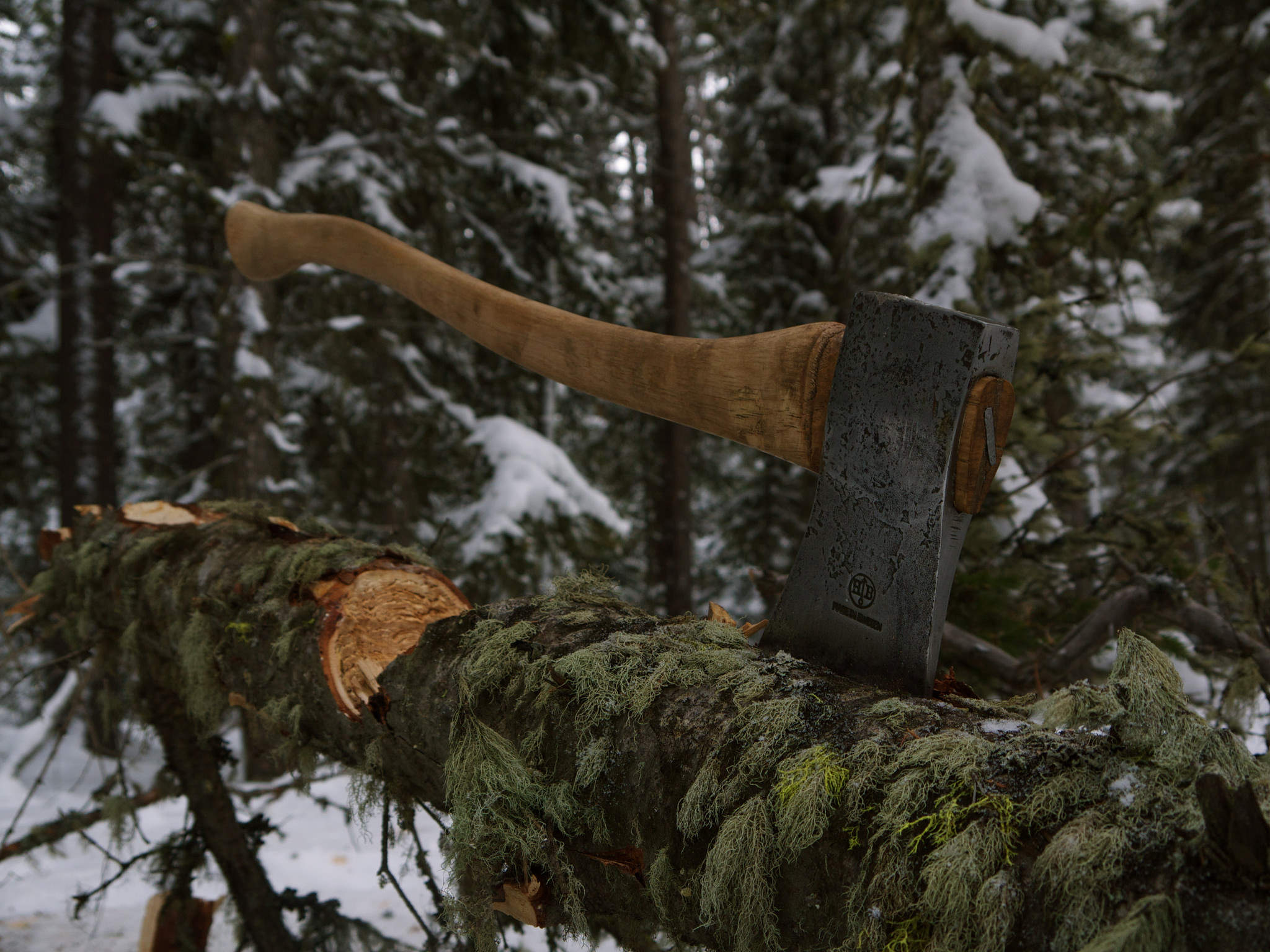
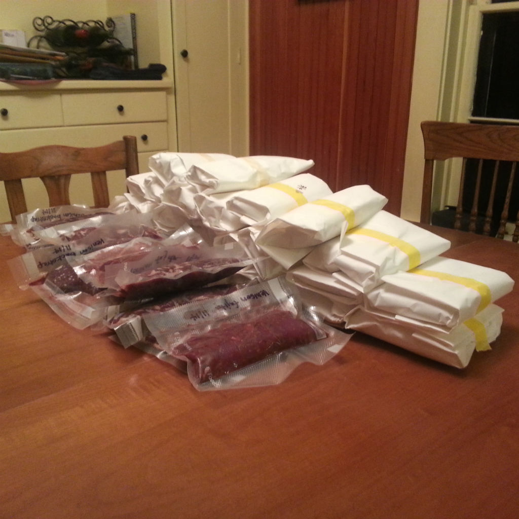
Next I set out to create my itinerary so that my trip fell within the dates I had free to hike and so that my daily mileage would be within the bounds of my hiking abilities. I also had to tweak my usual gear list to be as lightweight as possible – leaving out all but the absolute essentials. Well, I admit I took a camera, a book and a pipe with me as well.
I planned my original itinerary and gave copies to my family and girlfriend so that they would have an idea of where I was each night. This was a basic template which I intended to follow, however, if I was feeling up to more hiking on a particular day then I allowed myself flexibility to change the itinerary as the trip went along. This did in fact happen. If you look at the original itinerary and compare it with the itinerary listed below you’ll see my trip went from the scheduled seventeen days down to an actual fifteen days. In my post evaluation of the hike I believe completion is possible in ten or eleven days. I guess it’s something to shoot for the next time I thru-hike the SHT.
Itinerary
Day One - South Carlson Pond
Day Two - Little Brule
Day Three - Woods Creek
Day Four - Cascade North
Day Five - Poplar East
Day Six - Springdale Creek
Day Seven - Sugar Loaf Pond
Day Eight - Sonju Lake
Day Nine - Section 13
Day Ten - Bear Lake
Day Eleven - Beaver River
Day Twelve - ???
Day Thirteen - Blueberry Hill
Day Fourteen - Crow Valley
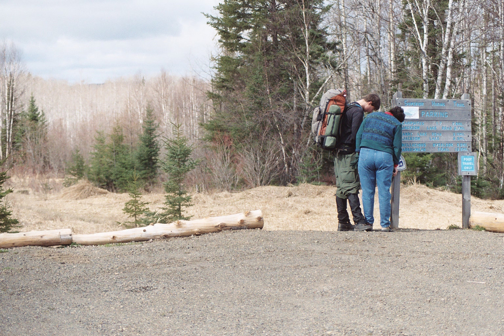
Photo: Signing the entry trail register as my mom looks on.
Sunday May 1st
10:00
Had hugs with Mom and Dad as well as some photos. Signed trail register and read some past entries including one by Andrew Skurka (hiking from the Atlantic to Pacific).
12:01
Looking over Jackson Lake. Stopped for first rest. First 2.5 mi of trail was mucky but still very hikeable. Spotty snow just past Andy Lake Rd on way up to “Highest Point on SHTâ€. So far very happy w/ trail signage and elements (i.e. bridges, corduroy, etc).
12:35
Met Scott and Al from Duluth and Burnsville doing clearing w/ their 21†Husqvarna.
13:49
Photo: “Hellacious Overlookâ€.
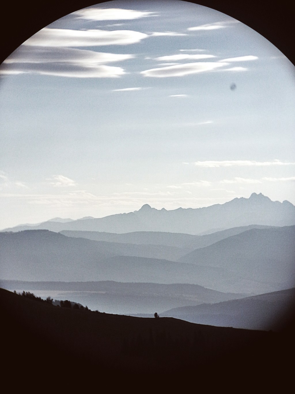
Exquisite first view of the lake. Weather can’t decide sun or snow. It’s graupelling but I’m warm. This view/weather combined is georgeous.
14:37
Can see a couple homes below me as I look over the lake. Would love to live there.

16:06
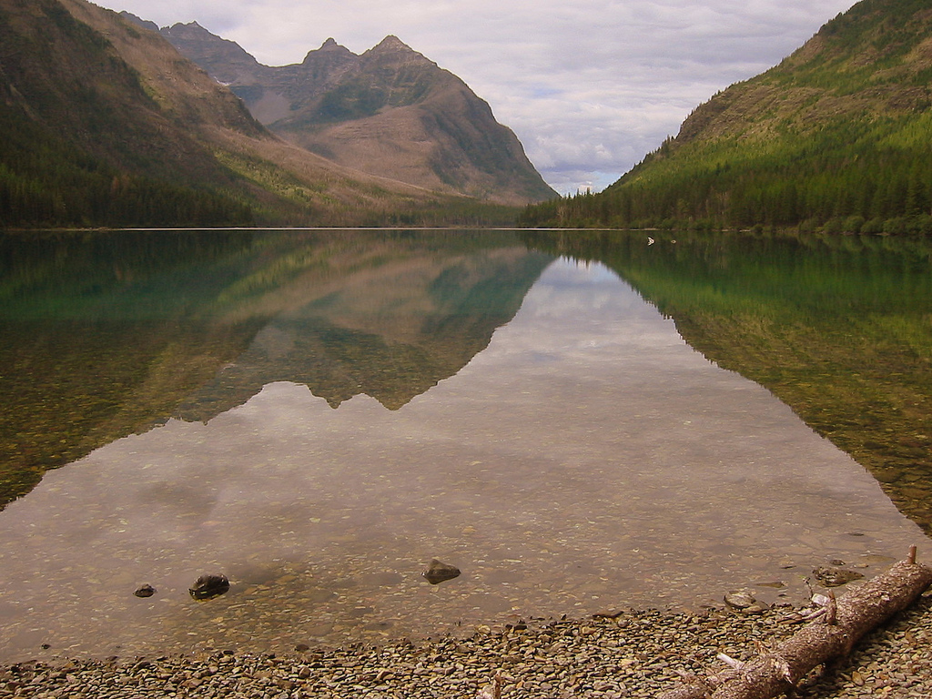
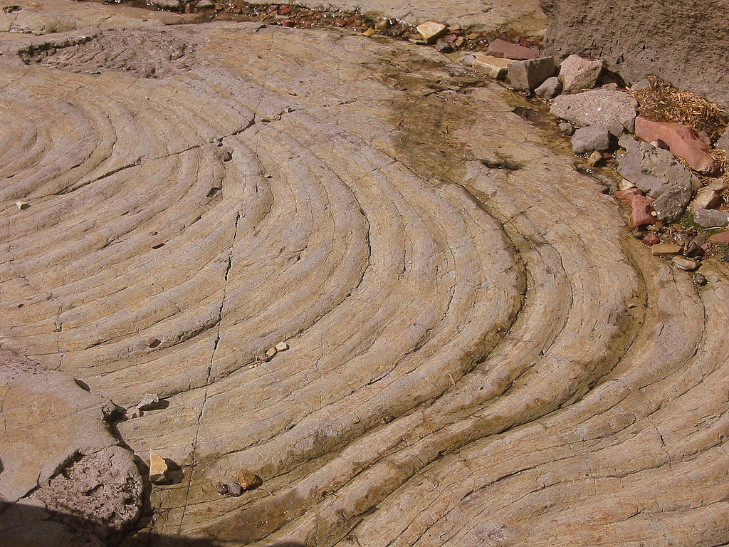
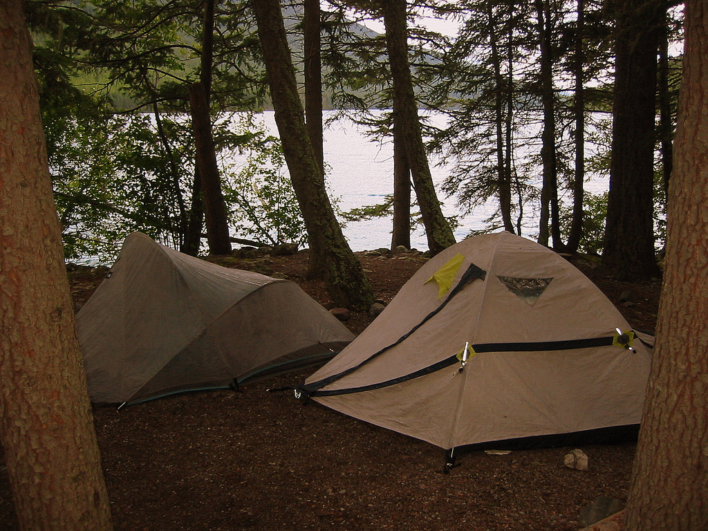
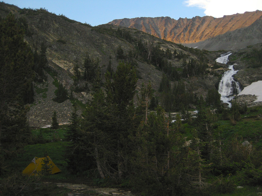
Photo:Beaver Dam at South Carlson Pond
10:11 – 17:20
Step Count – 32272
Monday, May 2nd
06:01
Woke up to a light dusting of snow and pretty chilly temps. Slept well, not too cold. Think it’s time to break camp and get some blood pumpin’ though.
07:05
Gear is packed, my clothes/boots have some warmth in them. I think I’ll hike an hour or two then stop and eat.
07:48
Rounding a slight corner and ascending the top of a knob a crackle of branches and leaves directs my eyes down trail 50 meters where a moose gallops away from me!
09:45
First whitetail bounching across an old private clearcut.
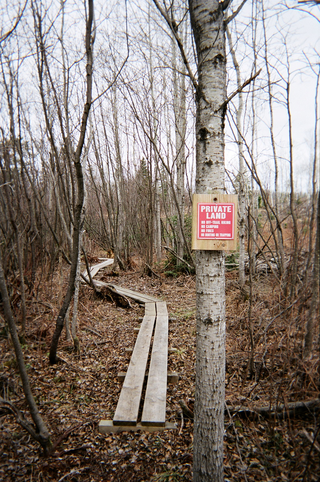
Photo: Private land sign just before Camp Road 20
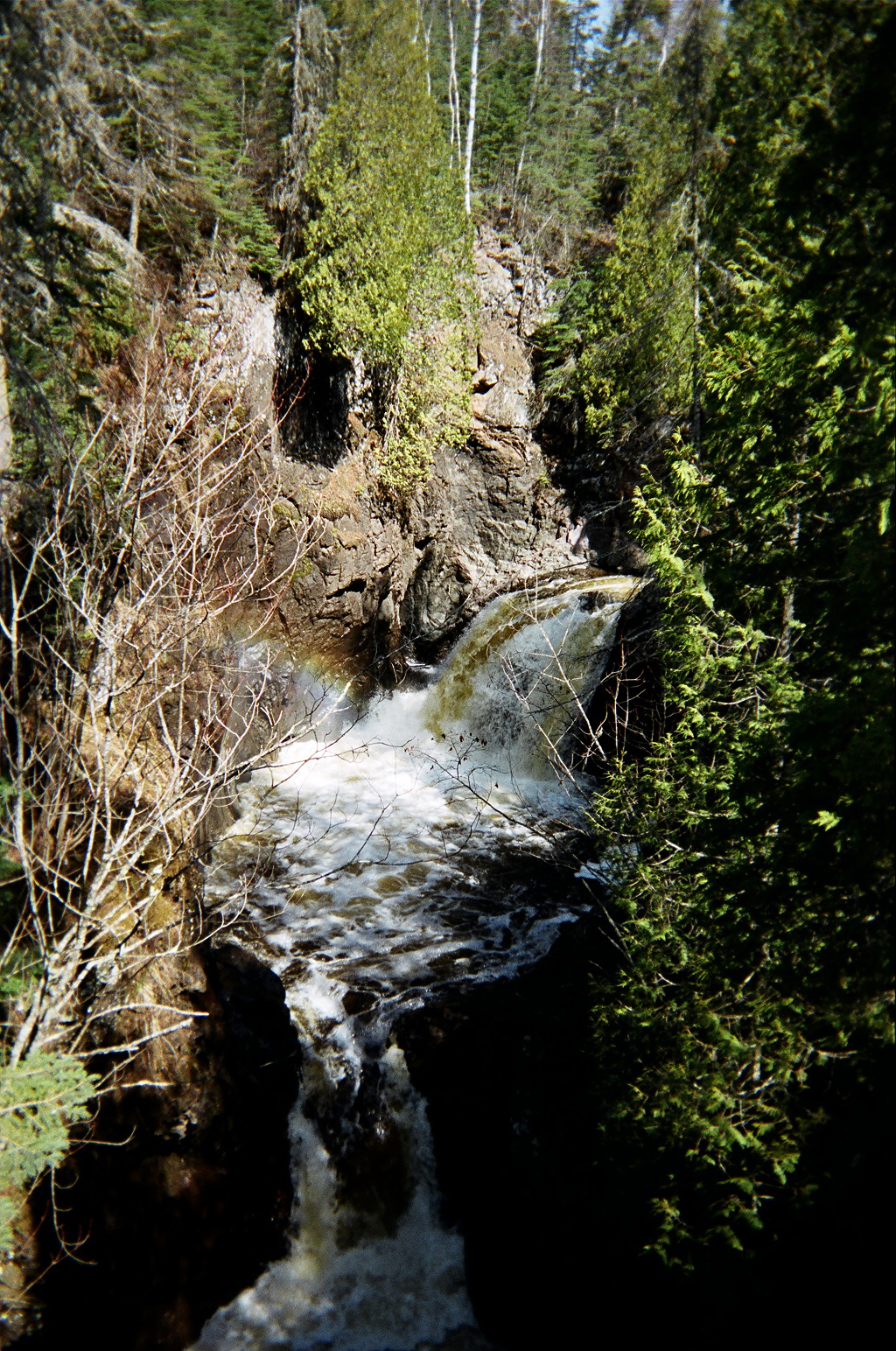
Photo: Devil’s Kettle Falls.
13:30
They say the water that flows into the hole on the left disappears without a trace.
14:30
Had a nice chat on phone with pa. Tried to reach Heather but she wasn’t home : (
19:12
That was one hell of a day. I woke up very sore and with two bad blisters. I was in pain hiking the whole day. I will survive. I will survive. I will survive.
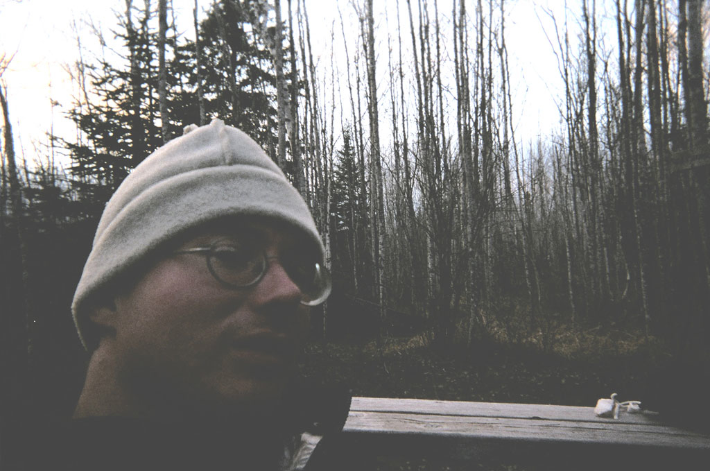
Photo: Self portrait at North Lil’ Brule River camp after hell hike of day two.
I’m relaxed, smoking a pipe and reveling in the beauty all around me – – what I came to see.
07:15 – 17:30
Step Count – Unknown
Tuesday, May 3rd
05:15
Awoke an hour or so ago and put my boots into my sleeping bad with me to get them warm. Had done same thing with water earlier. Tight fit and was shivering a bit. Bag is cinched all the way. Laid awake for a little bit and decided to get up.
06:47
Camp is struck and I’m about three minutes from heading out. One more set of stretches and I’m off.
Photo unavailable
Sketch: Beautiful bridge over Little Brule
08:47
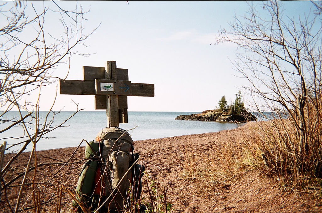
I’ve arrived at the lake . . . pause a moment in awe . . . It’s the largest lake in the world, yet it’s ability to be so serene and provide this overwhelming sense of calm is amazing. My photo of the lake as the background, and island as the middle ground and a SHT marker sign in the foreground won’t come close to capturing this sense, this mystical feeling. In the end I hope ma nature wins.
09:39
Photo: Shoreline looking South about .5 miles North of West end of Lake Walk.
10:30
Just made my first mistake. Saw trail sign but didn’t see second one.
11:11
Make a wish, right? Here’s hoping Heather is safe and happy. I love you. Stoppin’ for a bite to eat and a rest. Kadunce River is probably less than a mile away but I was feelin’ more like stoppin’ in a “faerie†place like this one. As I sat down I heard a large animal crash away through the brush. I wonder what it was?
12:12
Signing registry at Kadunce couldn’t help but notice entry by “J.V.†about kayaking cascade on 4.23.05. Is this Heather’s friend?

12:31
Photo: West Fork of Kadunce River
14:17
Haulin’ ass again. This is the Sam I know. The Sam who loves to hike and can push past a little pain. Yesterday was really hard on my soul. I was in pain from mile one through mile sixteen. Blisters, sore (AS HELL!!!) knees, the works. This morning I fashioned a couple hiking poles out of some medium sized pieces of downed birch and BOY! am I amazed at how much it’s helping – – especially on the downhills.
15:44
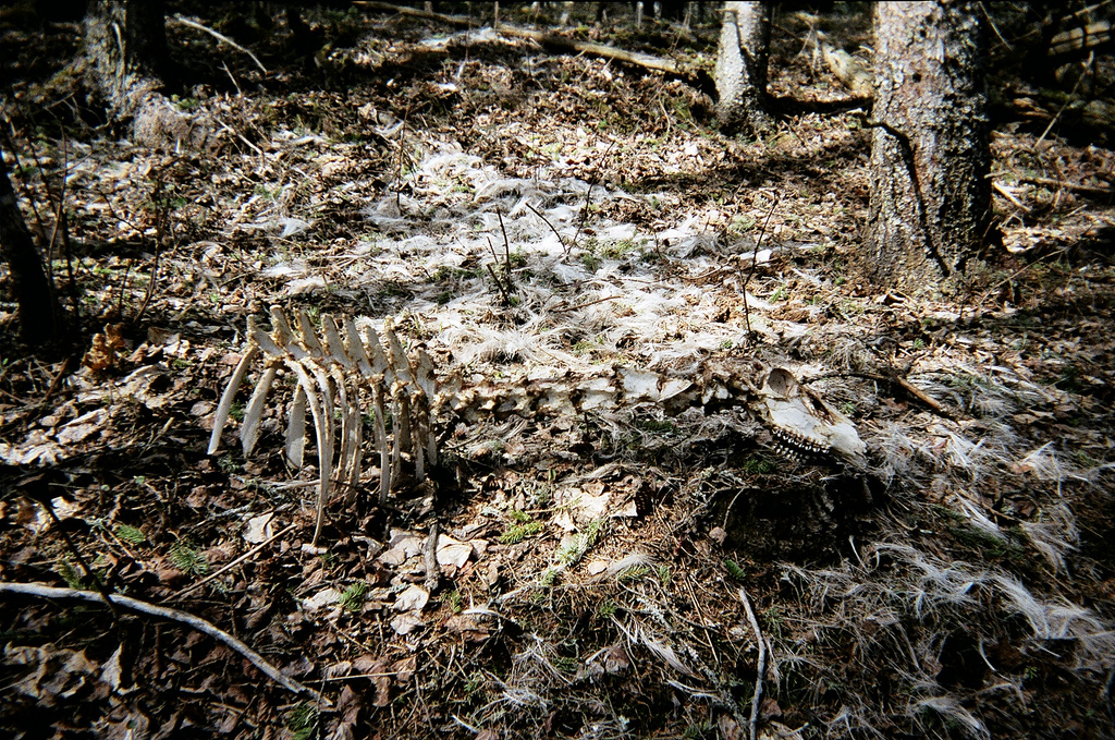
Photo: Just bones and hair – winter’s kill on the trail.
16:17
I’m beat, but only have 1.5 mi to go today. I have reached the prettiest vista thus far. Wildflower Hill affords a 180 degree panorama of the lake in all it’s stunning glory. To witness the sunrise from here would be a cathartic experience to draw pondering from for years to come.
17:29
Arrival at Woods Creek camp. I’m fucking spent.
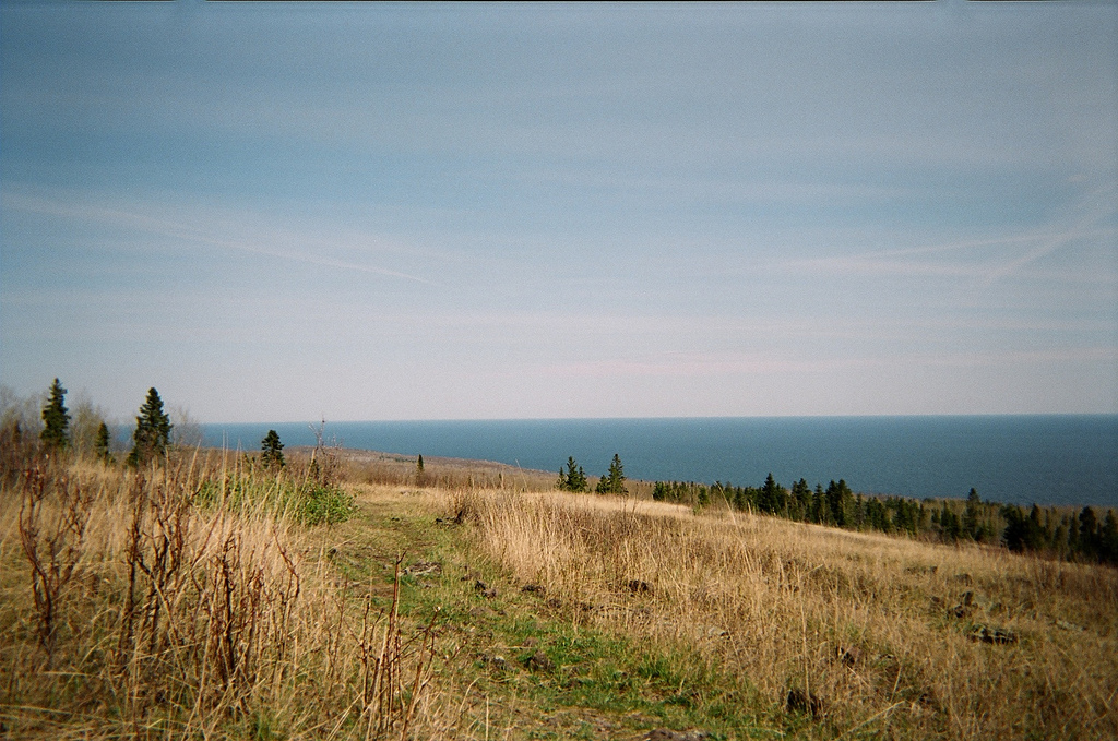
Photo: Wildflower Hill.
07:15 – 17:00
Step Count – 33279
Wednesday, May 4th
Awoke a little before 05:30 this morning thought I was packing fast but still wasn’t out of camp until 06:45. Stopped for a drink and read trail signs / consult map at County Road 50 parking area. Eighteen miles to go. Let’s get ‘er done!
07:38
Stopping for breakfast. Climbing southwest along Devil’s Track Canyon’s West side. Aside from the lake this is the most imposing natural feature I’ve encountered. The trail balances mere inches alongside hundred plus foot drops to the rocks and water below.
08:25
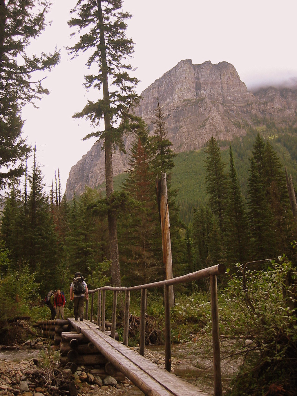
Devil Track River East camp looks totally stellar. The bridge that follows shortly after is quite a sight also.
Photo unavailable
Sketch: A-Frame bridge at Devil’s Track Canyon.
09:47
I think I should move to Grand Marais someday. While overlooking the town, reading an informational sign I learned:
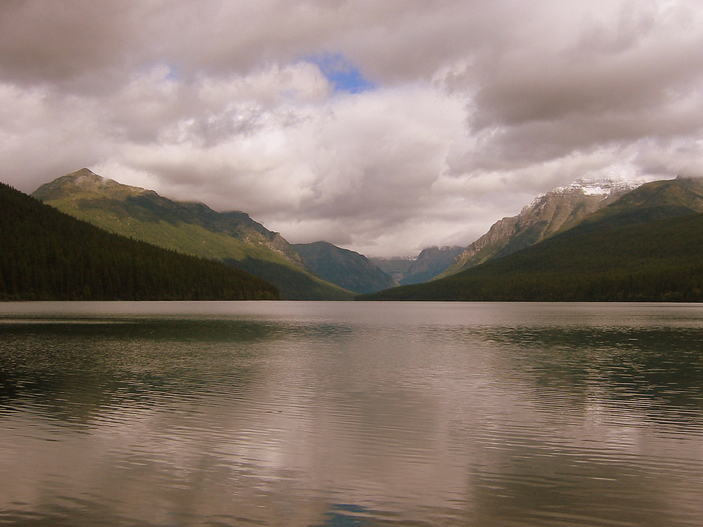
Lake Superior:
- Largest freshwater lake by surface area
- 10% of world’s fresh water
- 1333’ deep at deepest point
- Average temperature 40 degrees F
- Kitchi-gumi
Some other areas to research and someday explore:
- Ouimet Canyon Provincial Park
- Sleeping Giant Provincial Park
- Pukaskwa National Park
- Lake Superior Provincial Park
- Michipicoten Island Provincial Park
- Isle Royale National Park
13:20
The boardwalk across Sundling Creek runs across a beaver dam. Don’t know if it’s always in a rough of shape as now, but I’ll say it’s proper fucked!
13:47
Crossing Sundling Creek was the most adventurous section of the SHT so far. Before I crossed, as I stood on the other side and looked at the shambles of a one and two plank walkway I couldn’t see the whole thing. Parts of it have slumped over and as I glanced at it I wondered if I’d be taking my boots and pants off and going for a wade across the beaver pond. If it was 10 degrees warmer I’d certainly be going swimming in this lovely place. But instead I think I’ll sit a spell and partake in a pipe. All is well in my world.
14:03
How delightful I chose to spend time in this place. Perched on the bank of the pond I was made privy to a swiftly swimming beaver as s/he made his/her way across from the dam upstream.
19:05
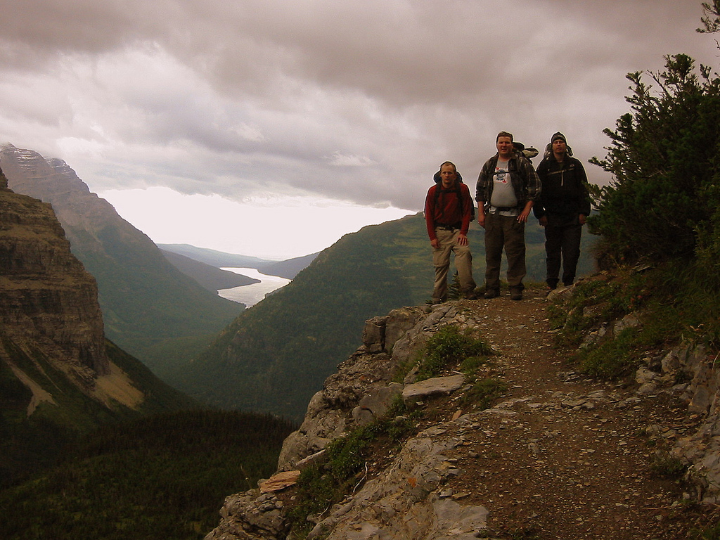
Arrived at camp at around 17:00 – well before I predicted. I got a bit caught up about a half hour out. I ran into another hiker (only the sixth I’ve seen). His name was Greg and he lives near St. Cloud. He comes out this way in the spring and fall to avoid bugs and crowds. We had a nice chat about hiking. It was very pleasant to converse for more than three words.
06:44 – 17:15
Step Count – 37886
Thursday, May 5th
05:00
Damn that’s a lot of “fives†(05.05.05, 05:00)! After much deliberation Ive decided my stove needs much repair. I monkied with the damn thing for over a half hour and am now finally boiling water for some oatmeal. Shorter day today though so should be OK.
08:28
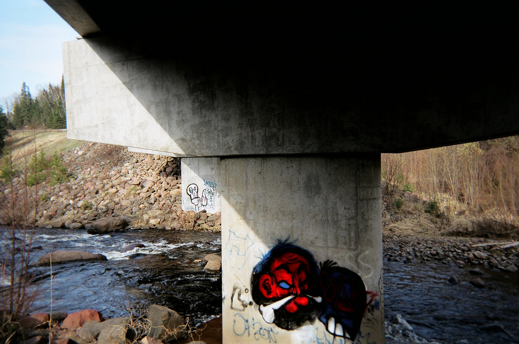
Photo: There’s even some graffiti along the SHT!
10:37
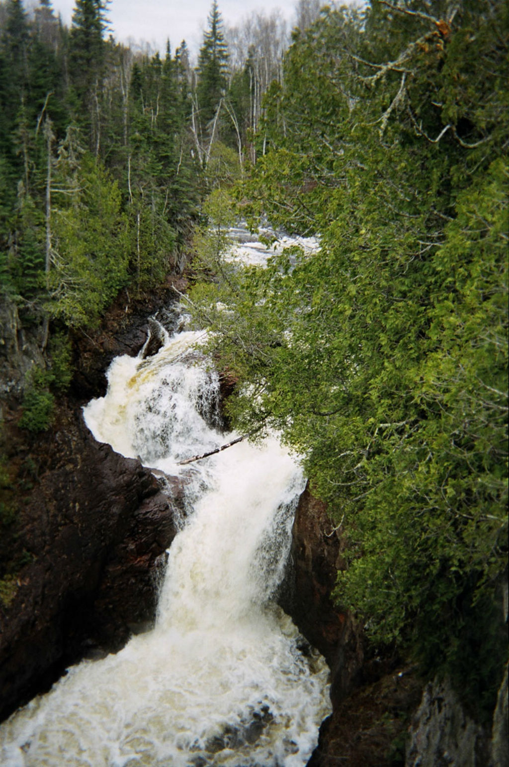
Photo: Cascade Falls
12:30
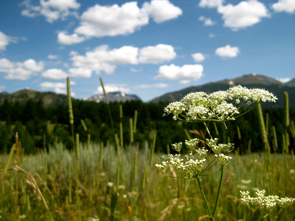
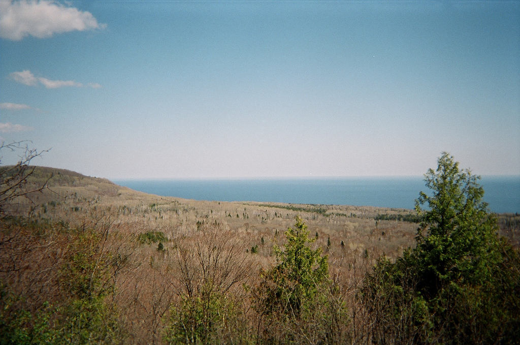
I’ve arrived at a place I remember so well, even though having visited it only once before in my pre-teens. I remember it because it has always been in my head as one of the most beautiful places on earth. I didn’t know for certain if the SHT would cross this place or not for I only remembered what it looked like, not what it was called. As I sit and reminisce from Lookout Mountain in Cascade State Park I remember thinking as a youth that if I ever got married, it would be in a place like this. I would love to sit here for hours but thunderheads are rollin’ in so I’m rollin’ out.
18:00
Arrival at East Poplar River camp.
08:00 – 18:00
Step Count – 40839
Friday, May 6th
08:05
Travel a road and you travel through the landscape. Travel a trail and you travel with the landscape.
08:40
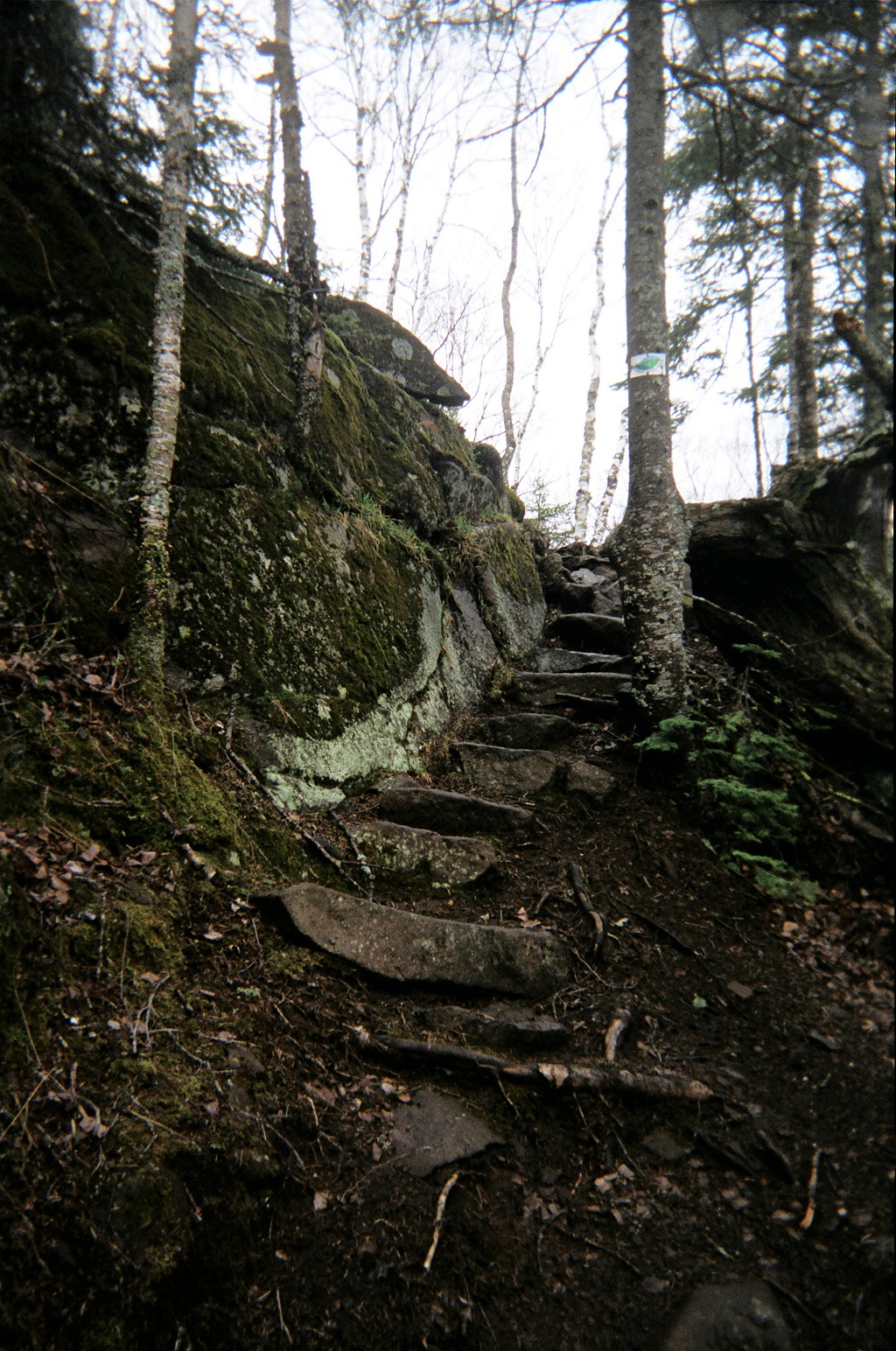
Photo:A wonderful set of rock steps near Lutsen.
11:58
Atop Moose Mountain I came across a sawn log with a metal placard bolted into it with the words, “Now this is a tree with a story to tell, May 8th, 1990â€. What does that mean do you suppose?
14:35
A warm wind is blowing. I hung up my pack and hiked up to a little overlook by the name of Cedar. It provides an exquisite view of the Lake as well as Leveaux and Oberg Mountains off to the left. After yesterdays power hike through the pouring rain, today’s sunny stroll is welcomed with open arms.
15:38
Arrived at Springdale Creek camp before 16:00 – yeah! I’m going to get some much deserved sitting-around-time this afternoon. I hiked three extra miles yesterday and I’m SO happy about it now!
07:40 – 15:38
Step Count – 24900
Saturday, May 7th
05:45
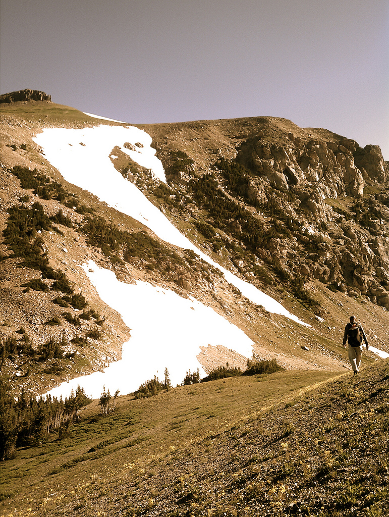
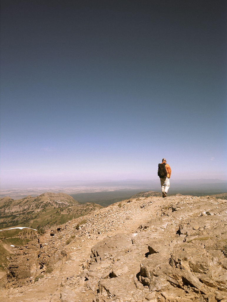
Got up at 04:00 this morning so I could hike Britton Peak for the sunrise. Got hear about ten minutes ago and sun was still behind far off hill. It just rose moments ago. It was quite stunning. Would’ve liked to have seen it from Carlton Peak because it rises over the lake.

07:05
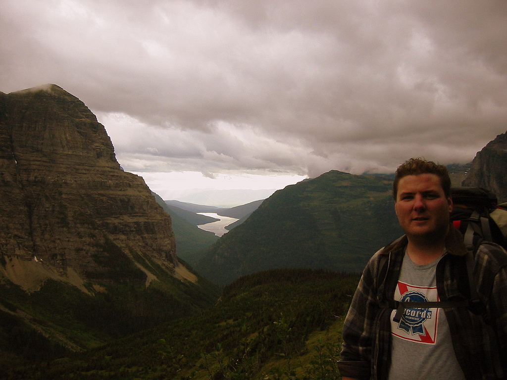
Photo: Self Portrait from atop Carlton Peak
08:40
Temperance River State Park. The river gorge is almost a slot canyon. There is one point where the opposing walls are only about six or seven feet apart. I’m sure many a daring punk kid has leaped it. However, its almost certain death by waterfall below.
09:30
Chatted with Jeremy, he knows Nate Schuler on GNP Trails.
10:00
Had a nice chat with Keith from Maple Grove. He was doing three days from Caribou Wayside to Lutsen.
10:31
Saw two female backpackers and said hi. They seemed awfully rushed.
Photo: An elegant bird. A grouse perhaps?
16:56
Having just finished a lovely supper of garlic veggie rice noodles, dehydrated split pea soup and rice I was looking over tomorrow’s trail data when a lively whitetail deer ran straight through camp. What a joy. Sugar Loaf Pond camp.
05:42 – 02:56
Step Count – 41000
Sunday, May 8th
Awake at 05:30 after night of rain. Lazy-ish morning cooking oatmeal and packing gear.
07:56
On the trail. GRD for eighteen miles!
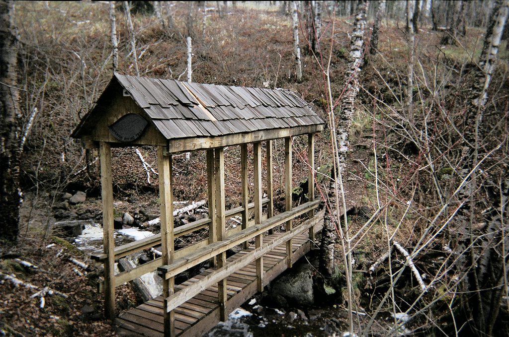
Photo: SHT covered bridge
East Baptism River camp. Latrine needs relocation for rain/spring melt has completely flooded into and around pit. Possible consideration of completely moving camp might be necessary.
16:45
Photo: Ducks on Sonju Lake.
17:00
Well, I’m halfway done and I’m still feeling good. It seems that a lot of pain I was suffering at first has gone away – - but I still get sore. Today I wasn’t even all that exhausted as I got to camp and it was an eighteen mile day. I will forever look at ten mile days as cakewalks I think. I wonder what this journey will do for my body, mind and personna after I leave the woods? Speaking of leaving I have found myself dreaming about taking Heather to Pizza Luce on Sunday night when we get out : )
19:00
All the domestics are done around camp and I’ve come down by the lake to sit on the lovely little dock here. The sun hangs in the sky, lazy. The choir of creatures surrounding me don’t mind me being here and have just struck up a tune. A choir with tens of thousands of players, no composer and no sheet music. A jazz combo of epic proportions. The first few mosquitos of the summer buzz solo parts in my ear. They are huge.
08:00 – 16:15
Step Count – 37120
Monday, May 9th
09:15 – 03:15
Step Count – 28500
Tuesday, May 10th
06:58
The sun is peeking through the clouds, I’ve cooked oatmeal, packed my gear and just waved goodbye to my – can you believe it – campsite partners! Jim and Laura from Mpls. Jim’s a librarian and Laura will be attending grad school for environmental policy.
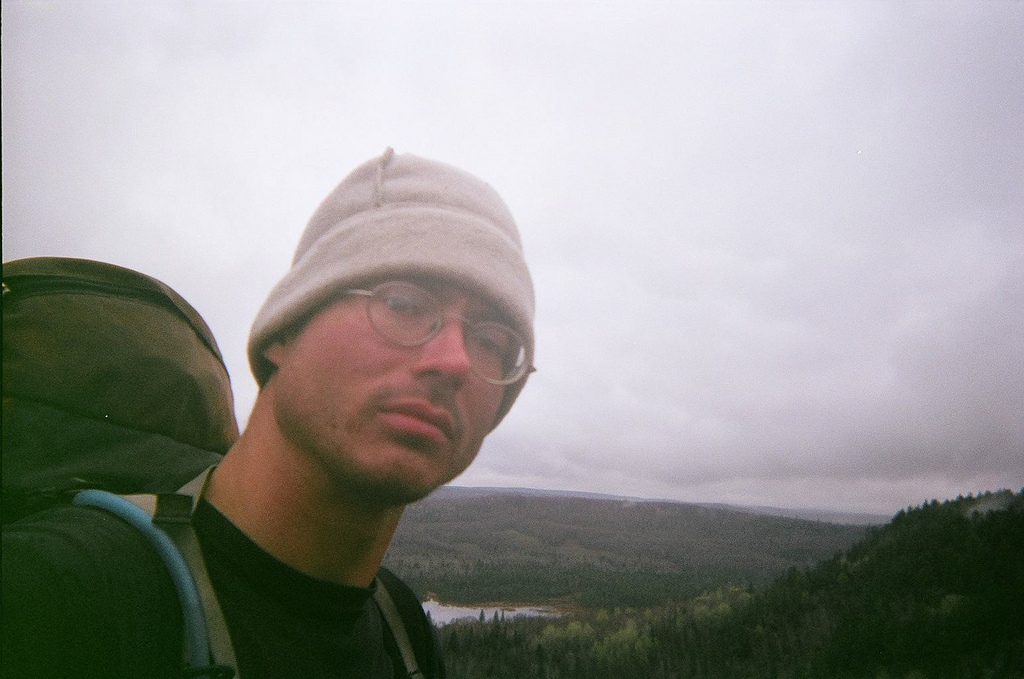
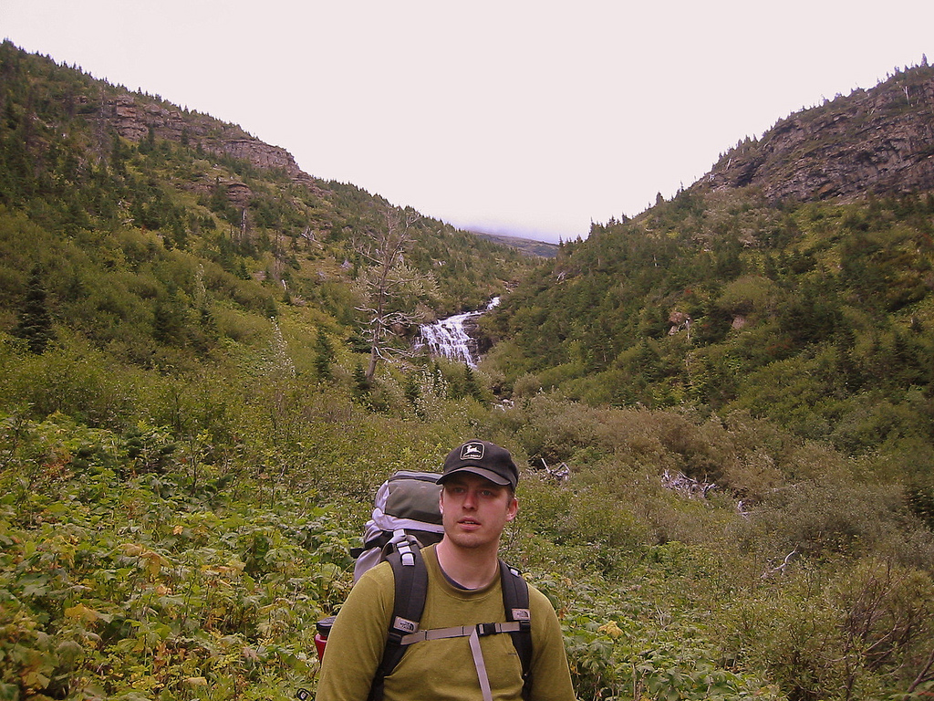
Photo: Self portrait from vista in Section 13 area
13:30
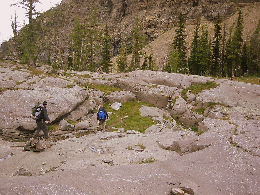
Just climbed “The Drainpipe†– by far the most technical section of the SHT. It was 150’ all-fours climb through a narrow chute of rock. While resting atop it I met Amanda and Jay who happen to be thru-hiking also! They were on day four of eighteen, up from Mankato for adventure.
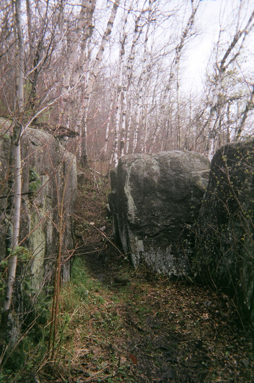
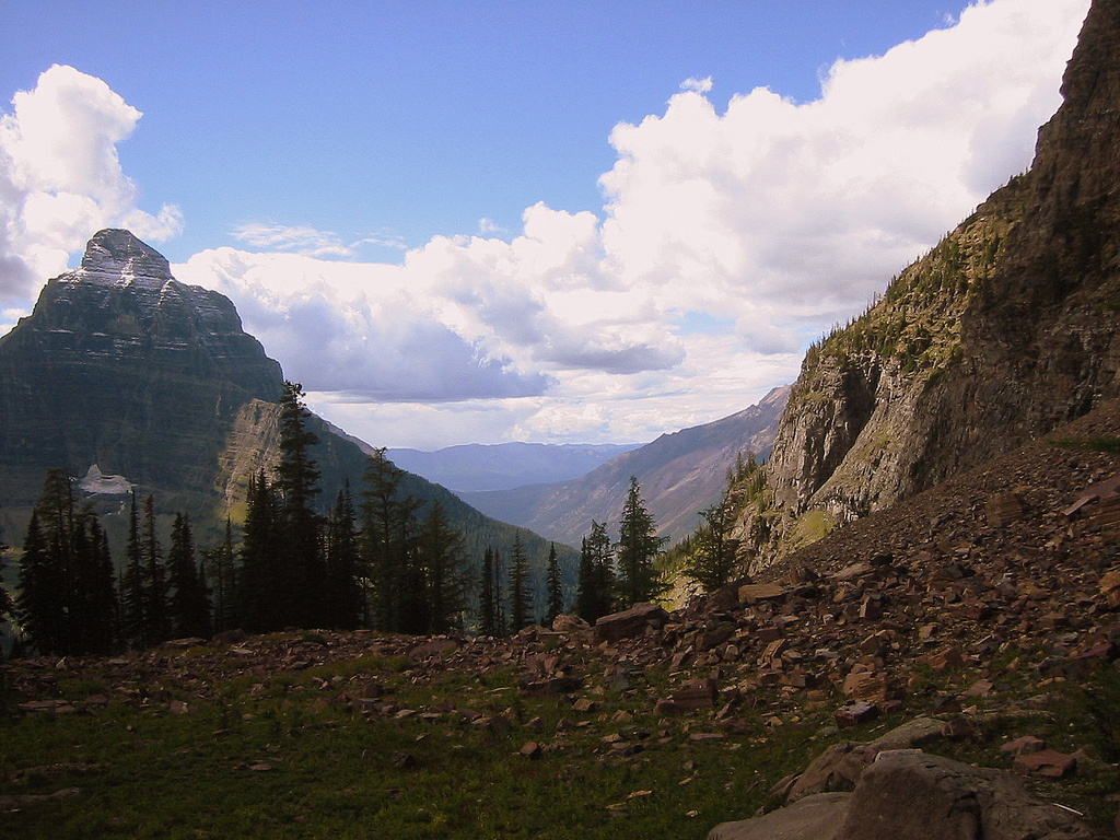
Photo: Trail moving through giant boulders along Sawmill Dome ridge.
14:30
Just summited Mount Trudee and the views are breathtaking. Three lakes to the North, the Lake to the East and the Sawtooth’s and other hills all around. The landscape is slightly speckled with civilization but it adds a feeling of reality to an otherwise pristine setting.
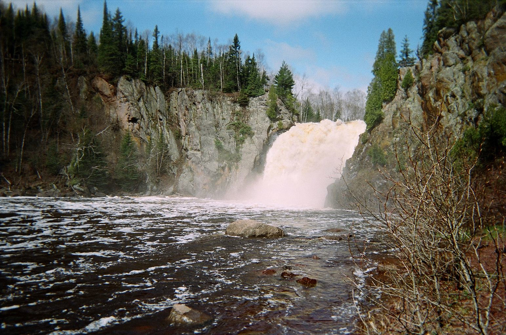
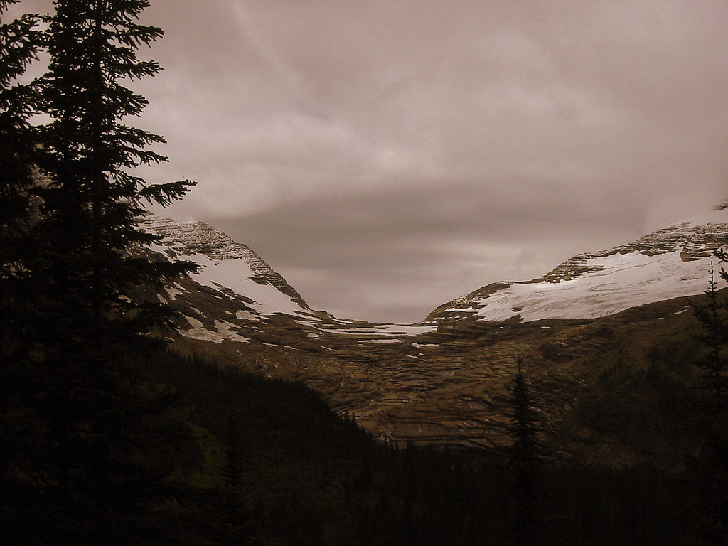
Photo: High Falls at Tettegouche State Park from below.
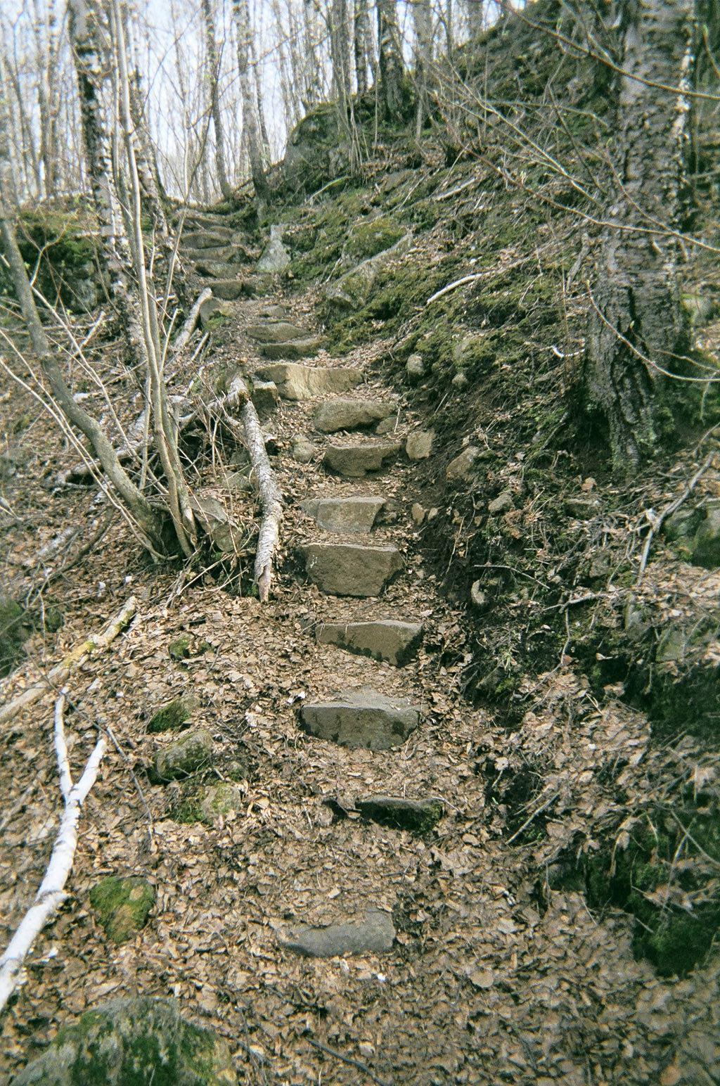
Photo: Beautiful rock steps prior to Bear Lake
18:56
I’ve just sharpened my pencil. w00t!
19:28
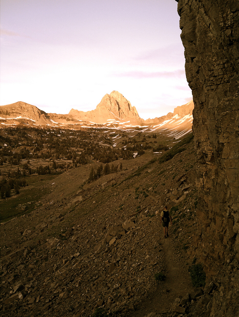
When I set out to make this journey – wait, let me rephrase that. When I first got the idea in my head to do this thing, this incredibly intense and taxing event in physical and mental stability and reliability I had it all figured out. Just go out there with the right stuff and get ‘er done. Nice and simple, 1, 2, 3. Ponder now these past days as I solo hike upon the shared ground of two great ecosystems of how in-tune with self and nature one can become if they let go of worry and face hardship and discomfort head on. A tough skin and steady nerves joining in a duet with the environment around you. Wow…words.
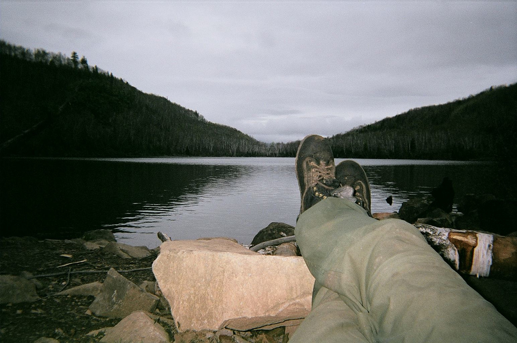
Photo: Reclining in the evening after all the chores are done at Bear Lake camp.
07:10 – 16:35
Step Count – 32297
Wednesday, May 11th
10:09
Reset the alarm twice this morning because I just felt like sleeping a bit. Ended up getting up at 06:30. Got on the trail about 07:30ish. Trucked along, stopping for a minute to gander at beautiful view down onto Bean Lake. Found my way into Silver Bay and asked a jogger where to find a pay phone. Turns out it was where I am now, “The Lounge†bar. Made my call and then ordered a nice glass of Leinenkugels. Ahh, it’s relaxing. Sitting here with a couple locals, sippin’ a brew at ten in the morning. Took a nice sink shower and will roll over to the grocery store for a bit of eats before setting off to find Heather.
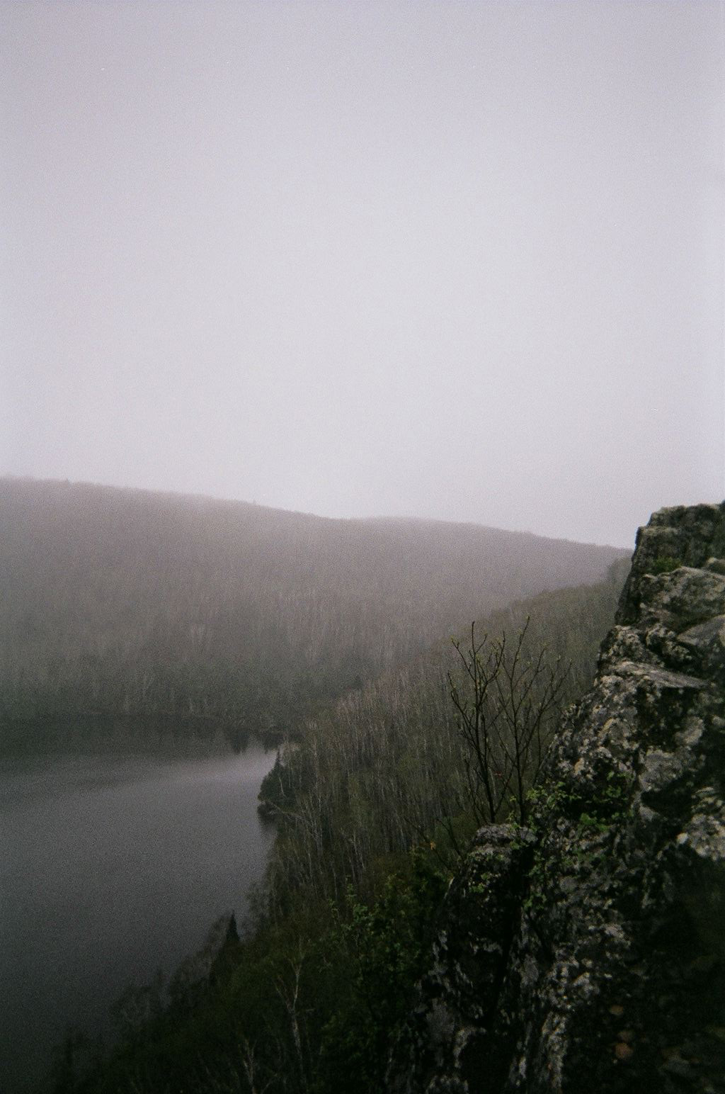
Photo: Bean Lake
00:00 – 00:00
Step Count – Unknown
Thursday, May 12th
17:30
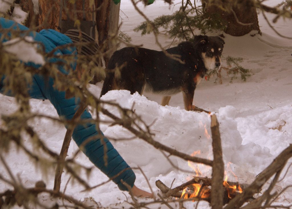
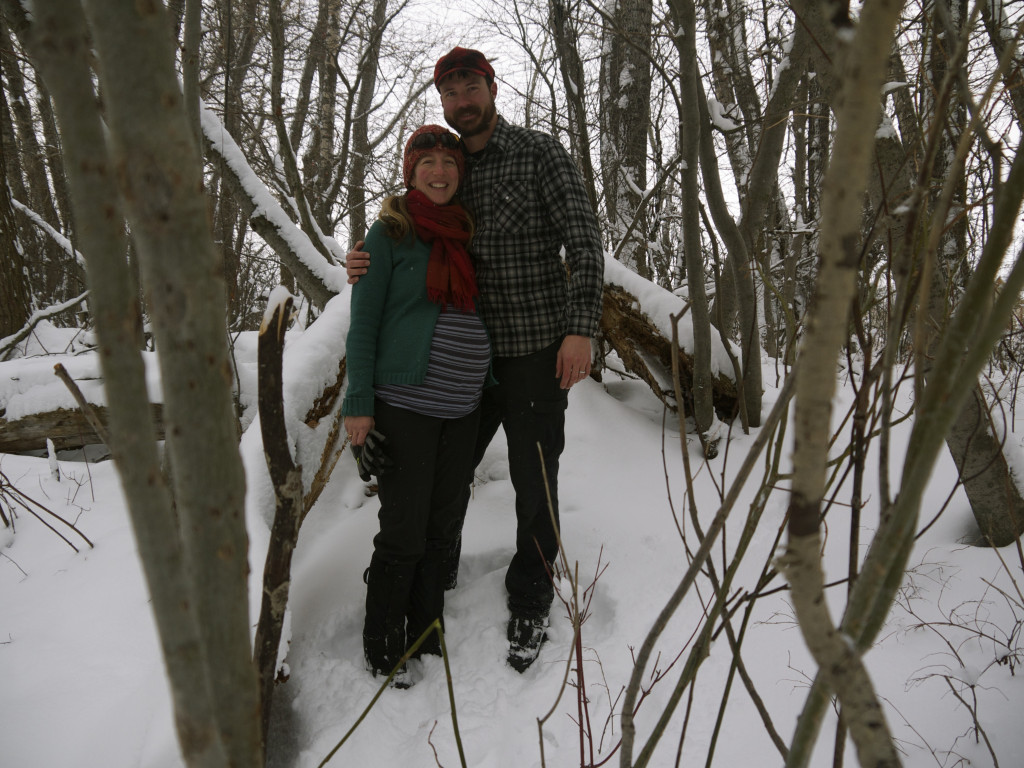
So glad to be with Heather again. Her, Tasha, Lily and I did an easy seven miles today.
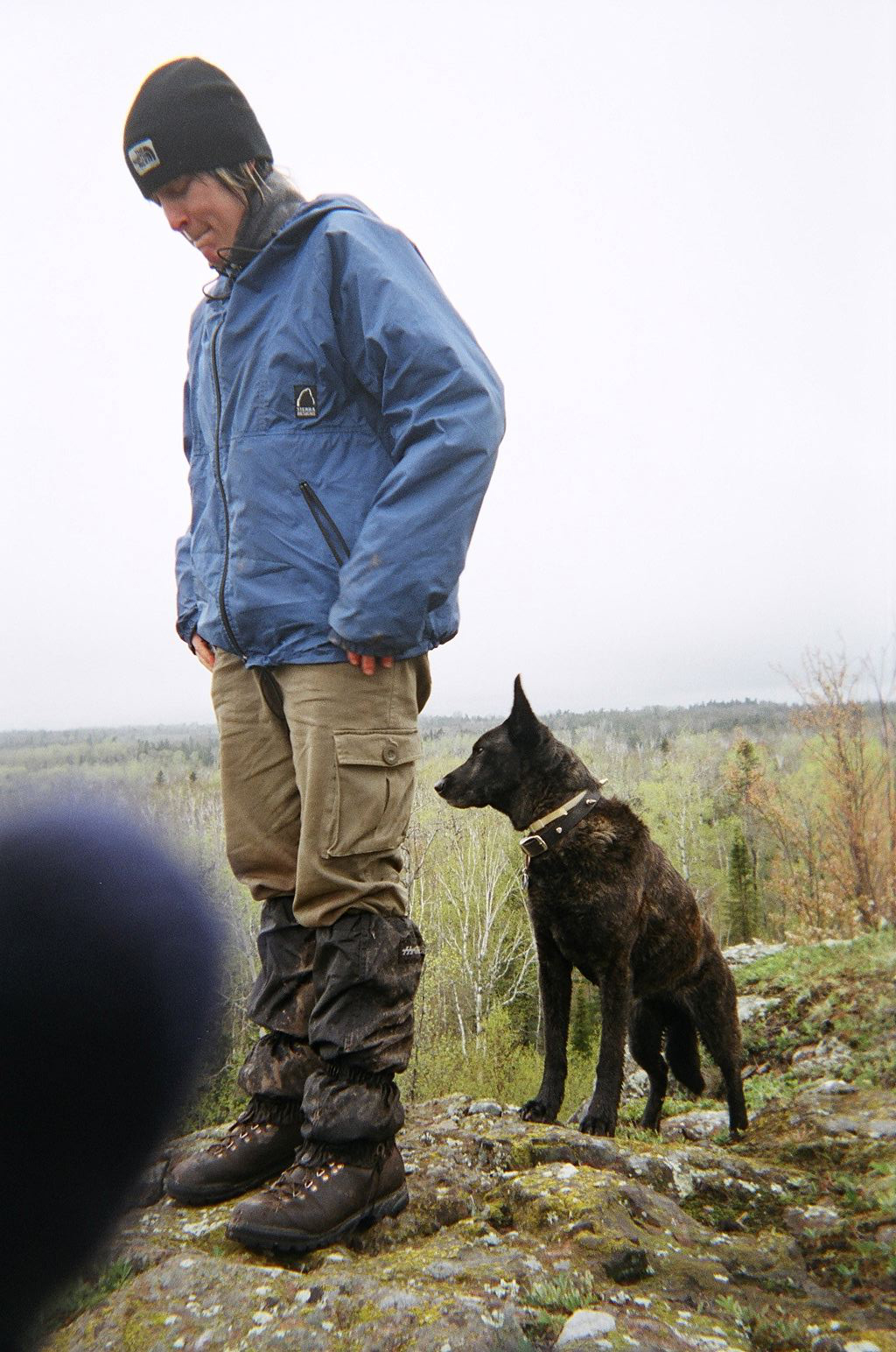
Photo: Heather and Tasha
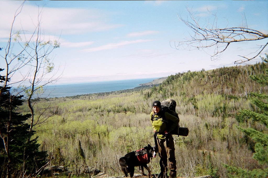
Photo: Heather posed with dogs with Lake in background.
10:00 – 03:45
Step Count – 18000
Friday, May 13th
17:50
It was an overcast and chilly day with lots of swamp walking. Some nice looks down into Split Rock River gorge though. Afternoon provided us a nice cliff to sit on and stare out over the birch covered landscape. We’re constantly surrounded by the sound of traffic now, but all is still very tranquil. Tomorrow we’ll hit Gooseberry pretty early and then hopefully hike on to Crow Creek Vista. Sunday will be the last leg of the trip. It will be eerie setting foot into an automobile again, but I’m ready for a little pampering I think. It’s been so nice having Heather and the dogs around – it has and will make the last days seem like a new, fresh set of miles.
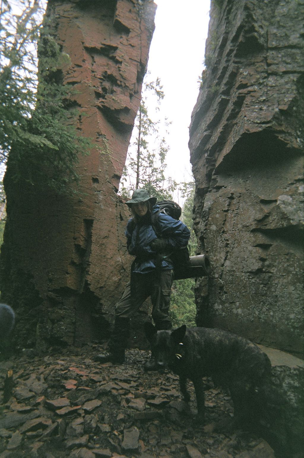
Photo: Heather and Tasha near Split Rock River.
09:00 – 16:34
Step Count – 15000
Saturday, May 14th
Had some nice words with Dave and his son Travis who shared camp with us last evening. Hit the trail and warmed up at Gooseberry interpretive center. Short walk along river then set up stove for lunch beside some rapids. Seven miles of hiking and we’re at Crow Valley camp. Still wet and shitty out so we cooked under the vestibule and are just laying around until we fall asleep.
09:37 – 17:45
Step Count – 15000
Sunday, May 15th
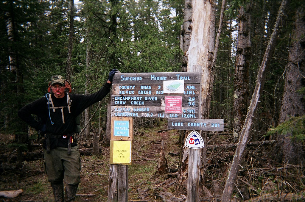
Photo: A sigh of relief over completing the Superior Hiking Trail.
14:00
NWC!
09:00 – 14:04
Step Count – 14467
A gallery of all the photos from this trip is located here.
An approximation of the gear I carried is located here.