Backyard Roots – A Montana and Wyoming Ski Series

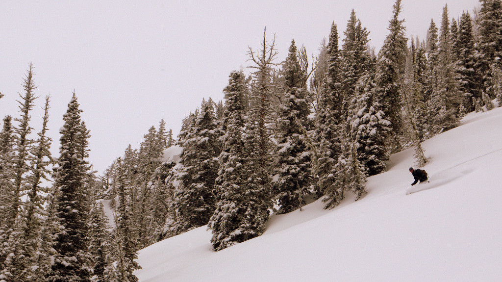
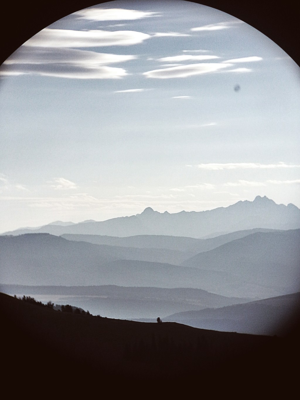
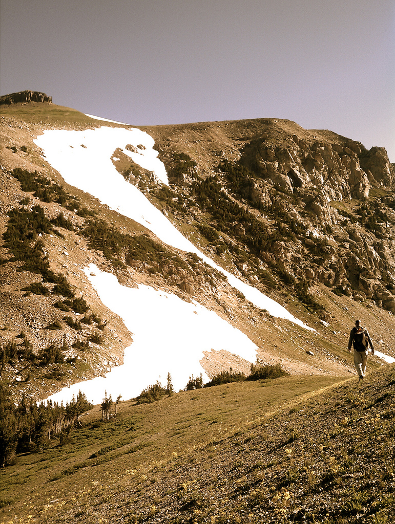
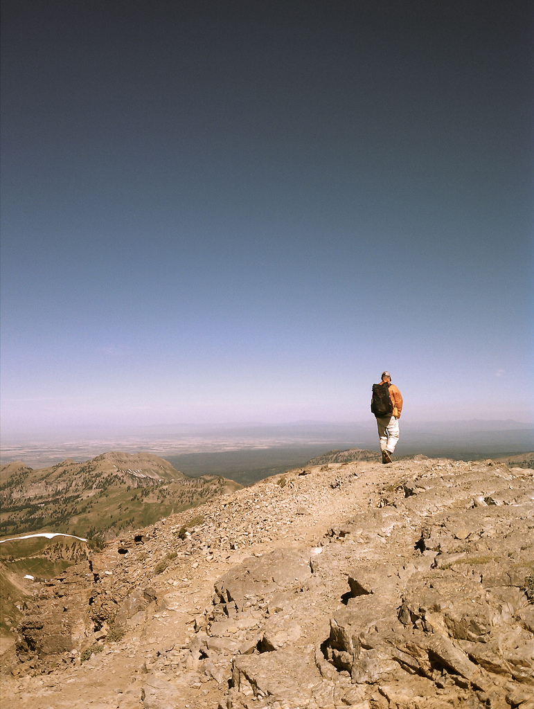
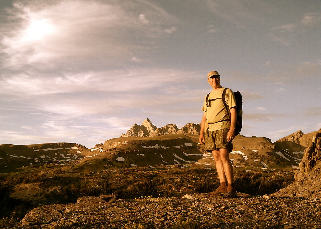
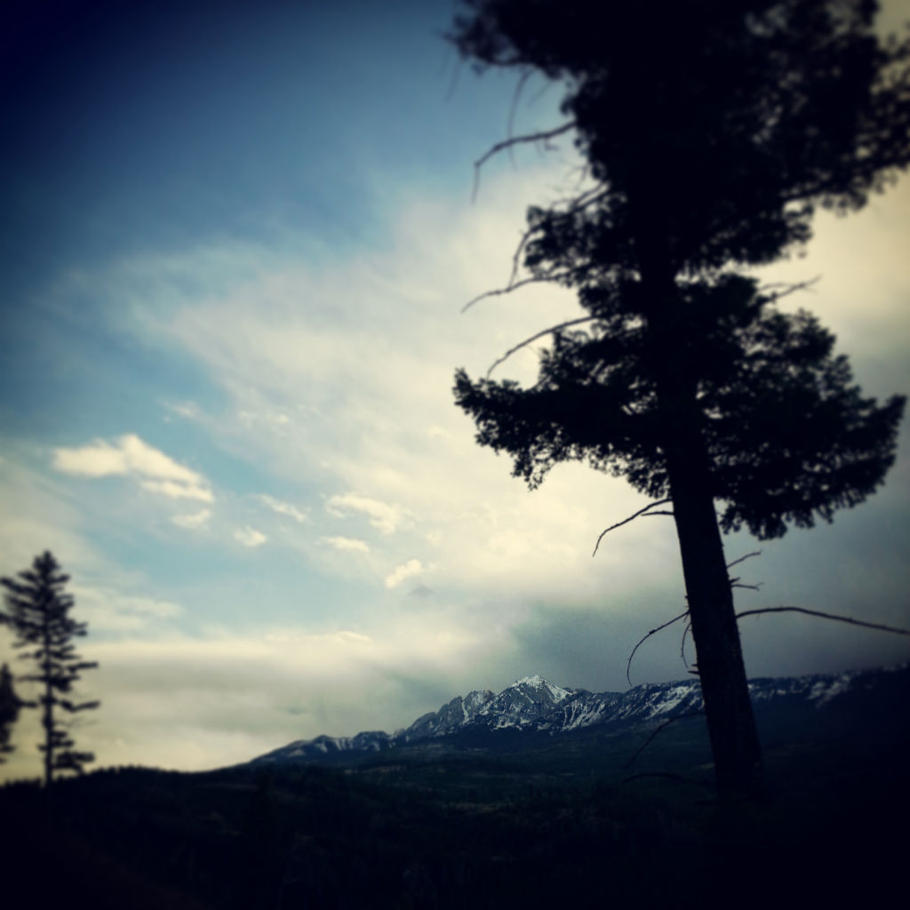
Beau Fredlund and Kt Miller have spent a fair amount of time living in a small  town in deep in the mountains of Southwest Montana that spends a good portion of the year buried under deep layers of deliciously low density powder snow.  A Powder guide and photographer by trade the two seem to have an excellent rapport as ski partners who are both willing to put in great levels of effort to tick off exquisite lines in their “backyard” – the heart of the Greater Yellowstone Ecosystem.

Over the course of the 2014/2015 winter the duo produced a series of short films they dubbed the “Backyard Roots” project that focuses on the concept of exploration just outside the front door of ones home.  Each episode then takes on its own individual theme ranging from the caution we must take, to how our peers affect our decisions, to overcoming and facing our fears.

Episode 1 – Patience is a Virtue

Episode 2 – The Social Media Factor

Episode 3 – The Sleeping Giant

A Nice Day in the Snow

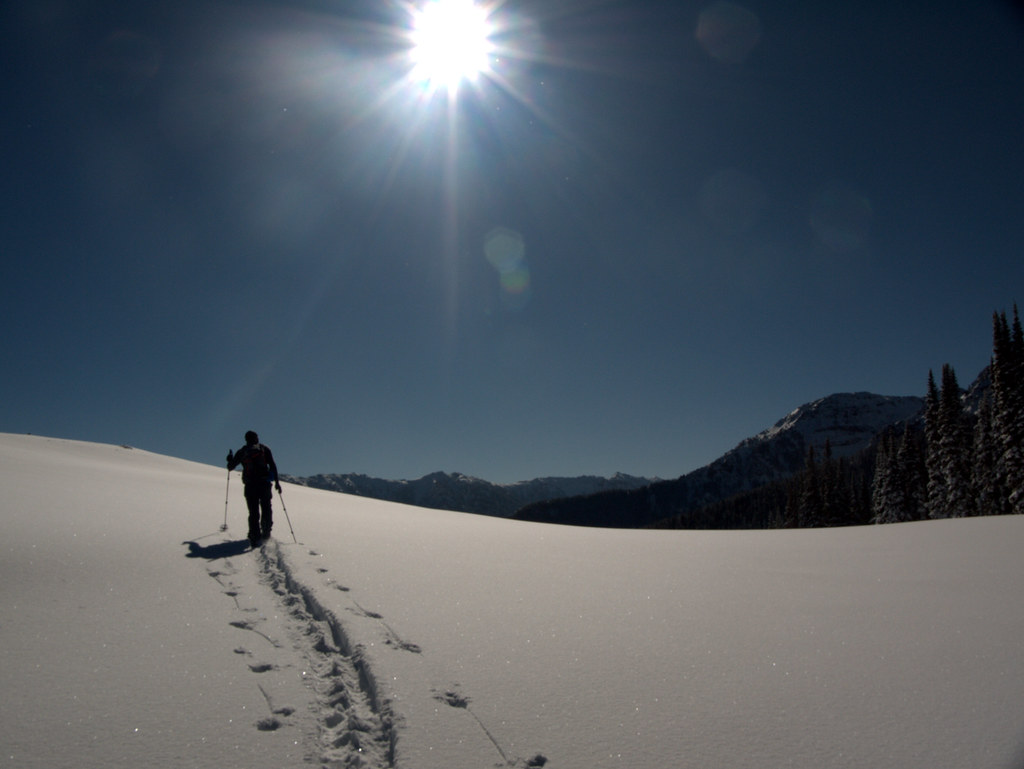
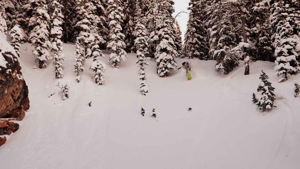
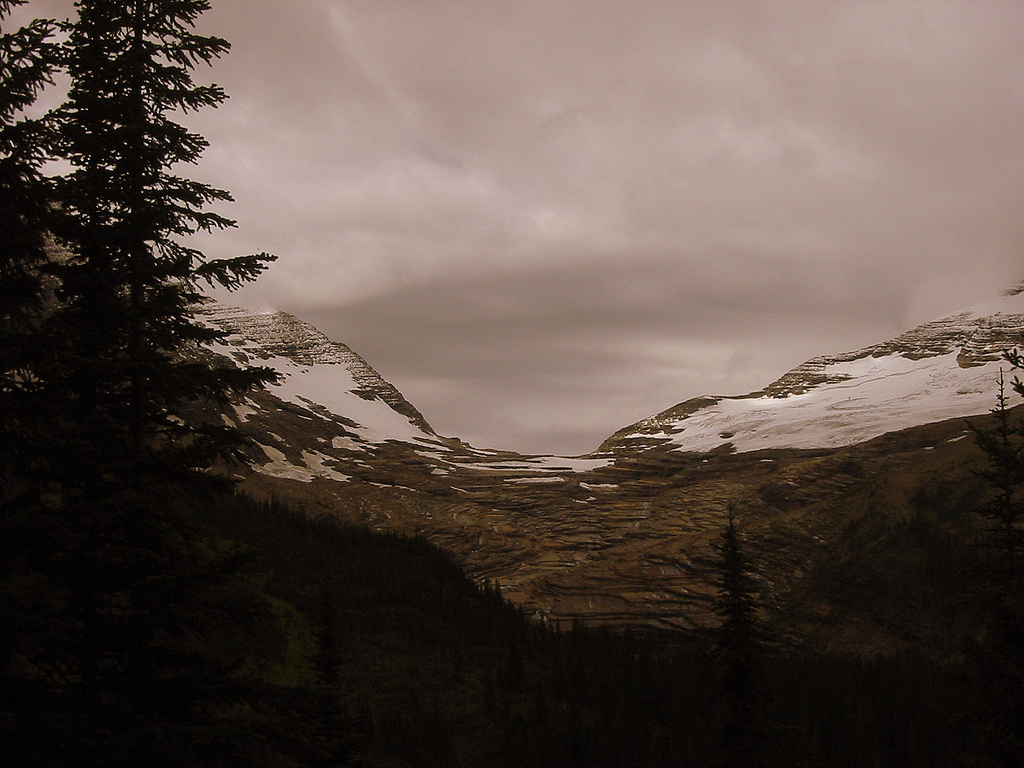
I’ve had my hands full with there being a very small, new addition to our family earlier this year but with family in town visiting to help out I took the opportunity to head for the hills.  Two friends and I left town around 6am and headed for a mountain trailhead about 40 minutes away.  We toured into a zone new to me, checked out a possible future camping zone we’d spied on satellite imagery and then rode a heavily tree’d face, avoiding cliffs as best as we could and then exited via a creek bottom back to the truck.  All in all we skinned and rode just over six miles and were out around four and a half hours.  The day was quite cold although sunny which made it an overall great day to be out in the woods riding cold, fresh pow.

Live Just Became a Little More Posh

15743151734_3a1011e2d1_b


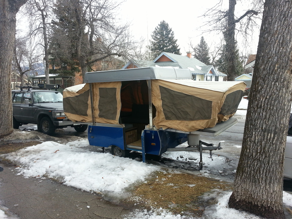
I’ve been researching camping trailers for the past year and the right one finally came along in my Craigslist perusals this past weekend.  This 1983 Coleman Columbia is in fair to good shape and is camping ready.  I already have a list of updates, fixes, and mods that will help “make it ours”.

This  is going to be a great addition to our camping repertoire – especially once the newest member of our family starts to walk and backpacking becomes a bit more difficult.

Superior Hiking Trail Thru Hike 2005

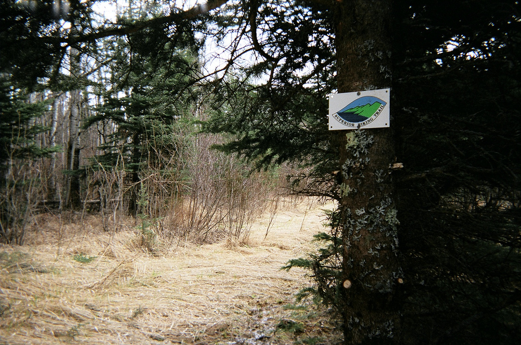
The following is the account of my 2005 thru hike of the Superior Hiking trail as told through photos and the daily journal I kept along the way.  I did the trip in lightweight, but not ultralight backpacking style (gear list). I hiked the SHT end-to-end between May 1st and May 15th, 2005.  The first eleven days I was solo and had no resupply, the remaining days I was joined (and resupplied) by my girlfriend at the time and her two dogs.    

If you are planning a Superior Hiking Trail thru-hike I highly suggest using trip reports like this as well as others to help plan your trip. Also join the Superior Hiking Trail mailing list as it is frequented by dedicated SHT hikers willing to impart copious wisdom regarding conditions, camping, water availability, re-supply, and more.

sht-trail-sign

I grew up in Minnesota in a camping family but fell in love with backpacking in my late-twenties. I became quite a hiker and backpacker while working on a trail-maintenance crew in Glacier National Park, West Glacier, Montana. Spending so many days and nights in the backcountry gave me the realization that I could, without too much difficulty do an average length thru-hike.

I’d heard tell of the Superior Hiking Trail and had set my mind to hike it some time previous to my undertaking. I ordered an ancient copy of the Superior Hiking Trail Association’s guide to the trail from a used bookseller over the internet. I also ordered the official set of four maps from the SHTA themselves at the http://shta.org website. Gayle and the staff there are very helpful and willing to answer your questions over the phone.

Next I set out to create my itinerary so that my trip fell within the dates I had free to hike and so that my daily mileage would be within the bounds of my hiking abilities. I also had to tweak my usual gear list to be as lightweight as possible – leaving out all but the absolute essentials. Well, I admit I took a camera, a book and a pipe with me as well.

I planned my original itinerary and gave copies to my family and girlfriend so that they would have an idea of where I was each night. This was a basic template which I intended to follow, however, if I was feeling up to more hiking on a particular day then I allowed myself flexibility to change the itinerary as the trip went along. This did in fact happen. If you look at the original itinerary and compare it with the itinerary listed below you’ll see my trip went from the scheduled seventeen days down to an actual fifteen days. In my post evaluation of the hike I believe completion is possible in ten or eleven days. I guess it’s something to shoot for the next time I thru-hike the SHT.


Itinerary

Day One - South Carlson Pond
Day Two - Little Brule
Day Three - Woods Creek
Day Four - Cascade North
Day Five - Poplar East
Day Six - Springdale Creek
Day Seven - Sugar Loaf Pond
Day Eight - Sonju Lake
Day Nine - Section 13
Day Ten - Bear Lake
Day Eleven - Beaver River
Day Twelve - ???
Day Thirteen - Blueberry Hill
Day Fourteen - Crow Valley
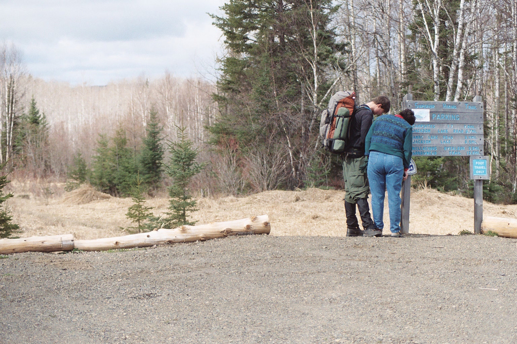

shit-trail-register

Photo: Signing the entry trail register as my mom looks on.

Sunday May 1st

10:00
Had hugs with Mom and Dad as well as some photos. Signed trail register and read some past entries including one by Andrew Skurka (hiking from the Atlantic to Pacific).

12:01
Looking over Jackson Lake. Stopped for first rest. First 2.5 mi of trail was mucky but still very hikeable. Spotty snow just past Andy Lake Rd on way up to “Highest Point on SHT”. So far very happy w/ trail signage and elements (i.e. bridges, corduroy, etc).

12:35
Met Scott and Al from Duluth and Burnsville doing clearing w/ their 21” Husqvarna.

sht-hellacious

13:49
Photo: “Hellacious Overlook”.

Exquisite first view of the lake. Weather can’t decide sun or snow. It’s graupelling but I’m warm. This view/weather combined is georgeous.

14:37
Can see a couple homes below me as I look over the lake. Would love to live there.

sht-beaver-dam

16:06
Photo:Beaver Dam at South Carlson Pond

10:11 – 17:20
Step Count – 32272


Monday, May 2nd

06:01
Woke up to a light dusting of snow and pretty chilly temps. Slept well, not too cold. Think it’s time to break camp and get some blood pumpin’ though.

07:05
Gear is packed, my clothes/boots have some warmth in them. I think I’ll hike an hour or two then stop and eat.

07:48
Rounding a slight corner and ascending the top of a knob a crackle of branches and leaves directs my eyes down trail 50 meters where a moose gallops away from me!

09:45
First whitetail bounching across an old private clearcut.
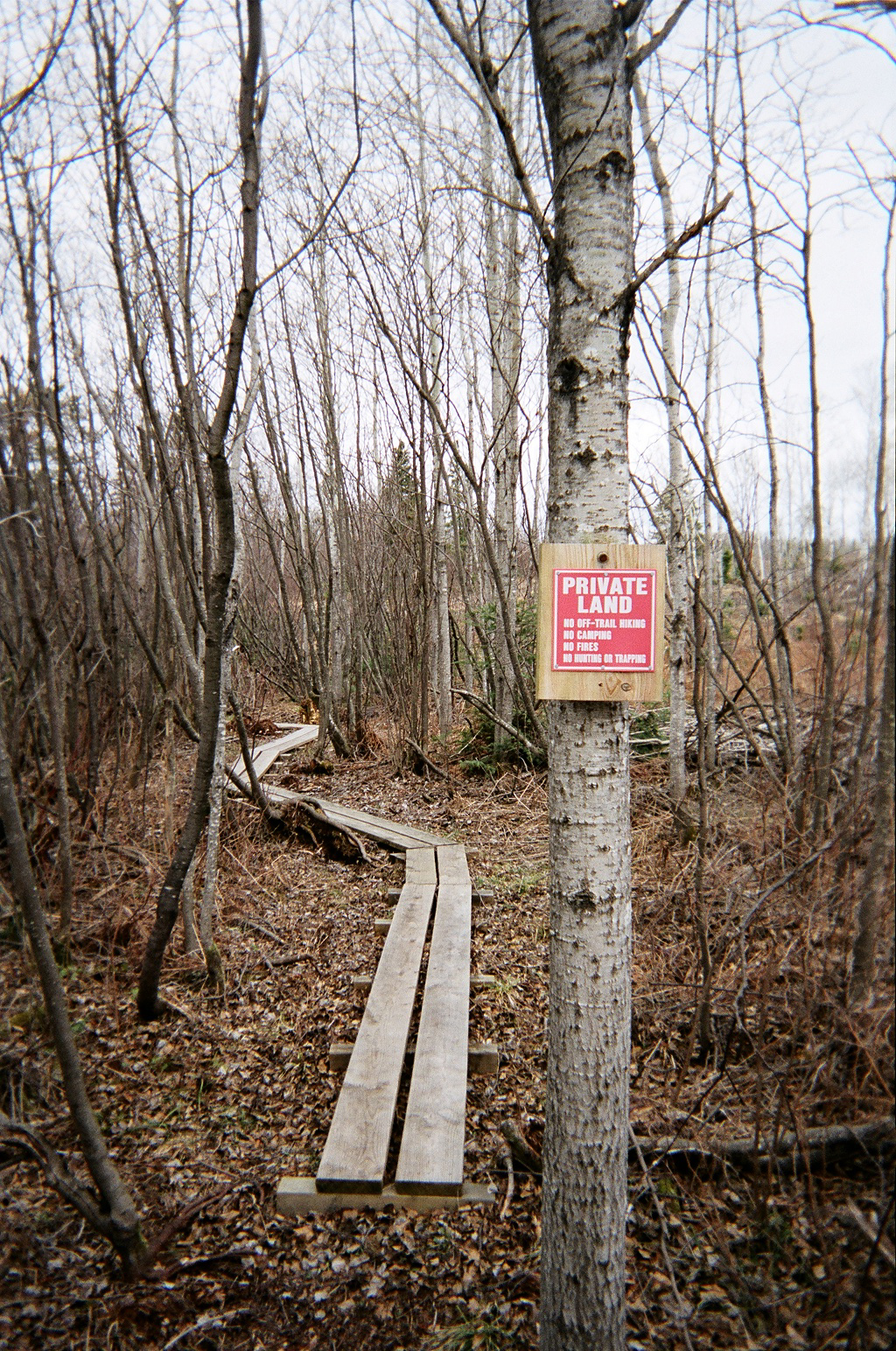
privateproperty

Photo: Private land sign just before Camp Road 20
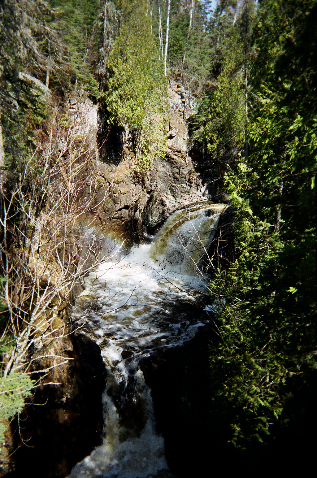
devilskettle

Photo: Devil’s Kettle Falls.

13:30
They say the water that flows into the hole on the left disappears without a trace.

14:30
Had a nice chat on phone with pa. Tried to reach Heather but she wasn’t home : (

19:12
That was one hell of a day. I woke up very sore and with two bad blisters. I was in pain hiking the whole day. I will survive. I will survive. I will survive.
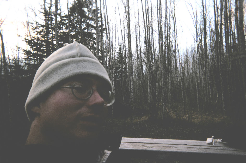
selfportrait

Photo: Self portrait at North Lil’ Brule River camp after hell hike of day two.

I’m relaxed, smoking a pipe and reveling in the beauty all around me – – what I came to see.

07:15 – 17:30
Step Count – Unknown


Tuesday, May 3rd

05:15
Awoke an hour or so ago and put my boots into my sleeping bad with me to get them warm. Had done same thing with water earlier. Tight fit and was shivering a bit. Bag is cinched all the way. Laid awake for a little bit and decided to get up.

06:47
Camp is struck and I’m about three minutes from heading out. One more set of stretches and I’m off.

Photo unavailable

Sketch: Beautiful bridge over Little Brule

08:47
I’ve arrived at the lake . . . pause a moment in awe . . . It’s the largest lake in the world, yet it’s ability to be so serene and provide this overwhelming sense of calm is amazing. My photo of the lake as the background, and island as the middle ground and a SHT marker sign in the foreground won’t come close to capturing this sense, this mystical feeling. In the end I hope ma nature wins.
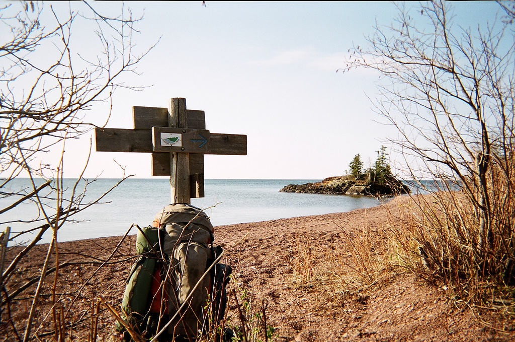
sht-beach-lakewalk

09:39
Photo: Shoreline looking South about .5 miles North of West end of Lake Walk.

10:30
Just made my first mistake. Saw trail sign but didn’t see second one.

11:11
Make a wish, right? Here’s hoping Heather is safe and happy. I love you. Stoppin’ for a bite to eat and a rest. Kadunce River is probably less than a mile away but I was feelin’ more like stoppin’ in a “faerie” place like this one. As I sat down I heard a large animal crash away through the brush. I wonder what it was?

12:12
Signing registry at Kadunce couldn’t help but notice entry by “J.V.” about kayaking cascade on 4.23.05. Is this Heather’s friend?

kadunceriver

12:31
Photo: West Fork of Kadunce River

14:17
Haulin’ ass again. This is the Sam I know. The Sam who loves to hike and can push past a little pain. Yesterday was really hard on my soul. I was in pain from mile one through mile sixteen. Blisters, sore (AS HELL!!!) knees, the works. This morning I fashioned a couple hiking poles out of some medium sized pieces of downed birch and BOY! am I amazed at how much it’s helping – – especially on the downhills.
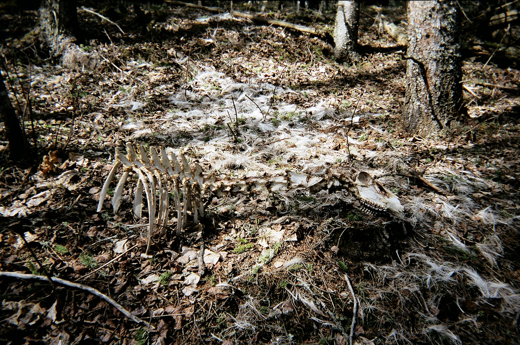
sht-winter-kill

15:44
Photo: Just bones and hair – winter’s kill on the trail.

16:17
I’m beat, but only have 1.5 mi to go today. I have reached the prettiest vista thus far. Wildflower Hill affords a 180 degree panorama of the lake in all it’s stunning glory. To witness the sunrise from here would be a cathartic experience to draw pondering from for years to come.

17:29
Arrival at Woods Creek camp. I’m fucking spent.
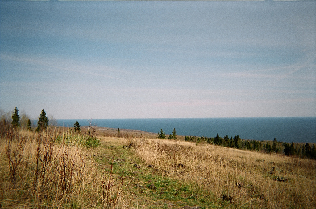
sht-wildflower-hill

Photo: Wildflower Hill.

07:15 – 17:00
Step Count – 33279


Wednesday, May 4th

Awoke a little before 05:30 this morning thought I was packing fast but still wasn’t out of camp until 06:45. Stopped for a drink and read trail signs / consult map at County Road 50 parking area. Eighteen miles to go. Let’s get ‘er done!

07:38
Stopping for breakfast. Climbing southwest along Devil’s Track Canyon’s West side. Aside from the lake this is the most imposing natural feature I’ve encountered. The trail balances mere inches alongside hundred plus foot drops to the rocks and water below.

08:25
Devil Track River East camp looks totally stellar. The bridge that follows shortly after is quite a sight also.

Photo unavailable

Sketch: A-Frame bridge at Devil’s Track Canyon.

09:47
I think I should move to Grand Marais someday. While overlooking the town, reading an informational sign I learned:

Lake Superior:

  • Largest freshwater lake by surface area
  • 10% of world’s fresh water
  • 1333’ deep at deepest point
  • Average temperature 40 degrees F
  • Kitchi-gumi

Some other areas to research and someday explore:

  • Ouimet Canyon Provincial Park
  • Sleeping Giant Provincial Park
  • Pukaskwa National Park
  • Lake Superior Provincial Park
  • Michipicoten Island Provincial Park
  • Isle Royale National Park

13:20
The boardwalk across Sundling Creek runs across a beaver dam. Don’t know if it’s always in a rough of shape as now, but I’ll say it’s proper fucked!

13:47
Crossing Sundling Creek was the most adventurous section of the SHT so far. Before I crossed, as I stood on the other side and looked at the shambles of a one and two plank walkway I couldn’t see the whole thing. Parts of it have slumped over and as I glanced at it I wondered if I’d be taking my boots and pants off and going for a wade across the beaver pond. If it was 10 degrees warmer I’d certainly be going swimming in this lovely place. But instead I think I’ll sit a spell and partake in a pipe. All is well in my world.

14:03
How delightful I chose to spend time in this place. Perched on the bank of the pond I was made privy to a swiftly swimming beaver as s/he made his/her way across from the dam upstream.

19:05
Arrived at camp at around 17:00 – well before I predicted. I got a bit caught up about a half hour out. I ran into another hiker (only the sixth I’ve seen). His name was Greg and he lives near St. Cloud. He comes out this way in the spring and fall to avoid bugs and crowds. We had a nice chat about hiking. It was very pleasant to converse for more than three words.

06:44 – 17:15
Step Count – 37886


Thursday, May 5th

05:00
Damn that’s a lot of “fives” (05.05.05, 05:00)! After much deliberation Ive decided my stove needs much repair. I monkied with the damn thing for over a half hour and am now finally boiling water for some oatmeal. Shorter day today though so should be OK.
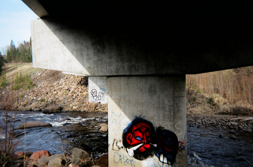
shit-graffiti

08:28
Photo: There’s even some graffiti along the SHT!
sht-cascade-falls

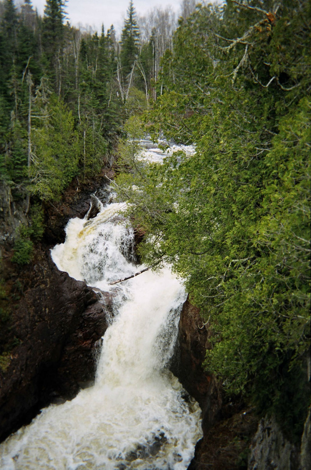
10:37
Photo: Cascade Falls

12:30
I’ve arrived at a place I remember so well, even though having visited it only once before in my pre-teens. I remember it because it has always been in my head as one of the most beautiful places on earth. I didn’t know for certain if the SHT would cross this place or not for I only remembered what it looked like, not what it was called. As I sit and reminisce from Lookout Mountain in Cascade State Park I remember thinking as a youth that if I ever got married, it would be in a place like this. I would love to sit here for hours but thunderheads are rollin’ in so I’m rollin’ out.

18:00
Arrival at East Poplar River camp.

08:00 – 18:00
Step Count – 40839


Friday, May 6th

08:05
Travel a road and you travel through the landscape. Travel a trail and you travel with the landscape.
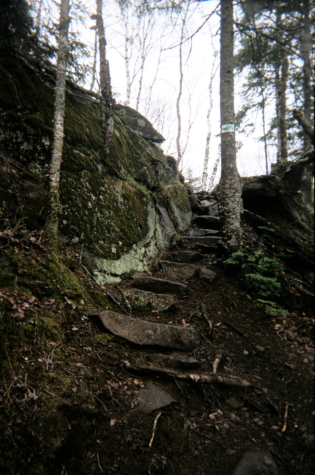
rocksteps-lutsen

08:40
Photo:A wonderful set of rock steps near Lutsen.

11:58
Atop Moose Mountain I came across a sawn log with a metal placard bolted into it with the words, “Now this is a tree with a story to tell, May 8th, 1990”. What does that mean do you suppose?

14:35
A warm wind is blowing. I hung up my pack and hiked up to a little overlook by the name of Cedar. It provides an exquisite view of the Lake as well as Leveaux and Oberg Mountains off to the left. After yesterdays power hike through the pouring rain, today’s sunny stroll is welcomed with open arms.

15:38
Arrived at Springdale Creek camp before 16:00 – yeah! I’m going to get some much deserved sitting-around-time this afternoon. I hiked three extra miles yesterday and I’m SO happy about it now!

07:40 – 15:38
Step Count – 24900


Saturday, May 7th

05:45
Got up at 04:00 this morning so I could hike Britton Peak for the sunrise. Got hear about ten minutes ago and sun was still behind far off hill. It just rose moments ago. It was quite stunning. Would’ve liked to have seen it from Carlton Peak because it rises over the lake.

sht-selfportrait-carlton

07:05
Photo: Self Portrait from atop Carlton Peak

08:40
Temperance River State Park. The river gorge is almost a slot canyon. There is one point where the opposing walls are only about six or seven feet apart. I’m sure many a daring punk kid has leaped it. However, its almost certain death by waterfall below.

09:30
Chatted with Jeremy, he knows Nate Schuler on GNP Trails.

10:00
Had a nice chat with Keith from Maple Grove. He was doing three days from Caribou Wayside to Lutsen.

10:31
Saw two female backpackers and said hi. They seemed awfully rushed.
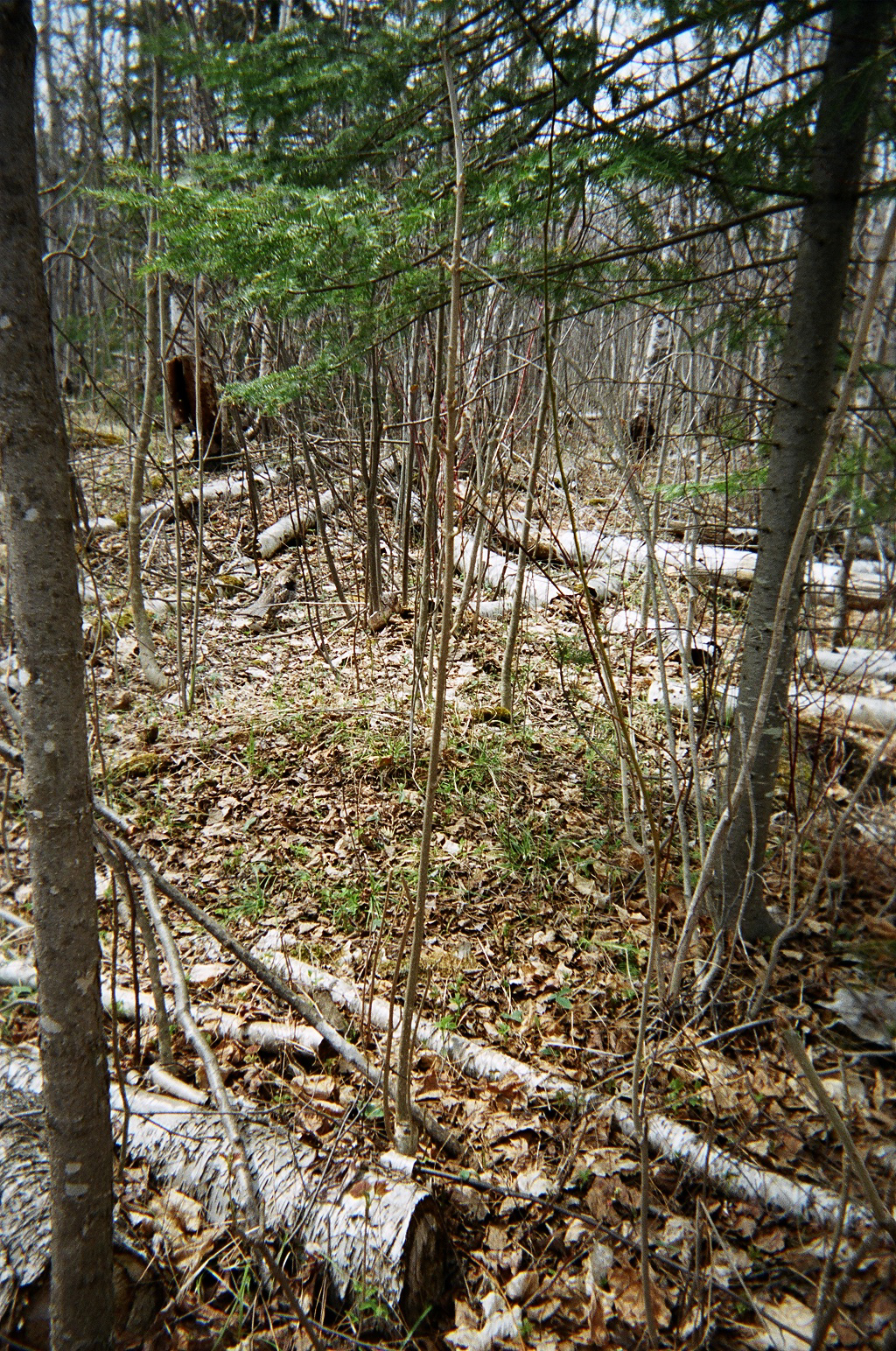
grouse

Photo: An elegant bird. A grouse perhaps?

16:56
Having just finished a lovely supper of garlic veggie rice noodles, dehydrated split pea soup and rice I was looking over tomorrow’s trail data when a lively whitetail deer ran straight through camp. What a joy. Sugar Loaf Pond camp.

05:42 – 02:56
Step Count – 41000


Sunday, May 8th

Awake at 05:30 after night of rain. Lazy-ish morning cooking oatmeal and packing gear.

07:56
On the trail. GRD for eighteen miles!
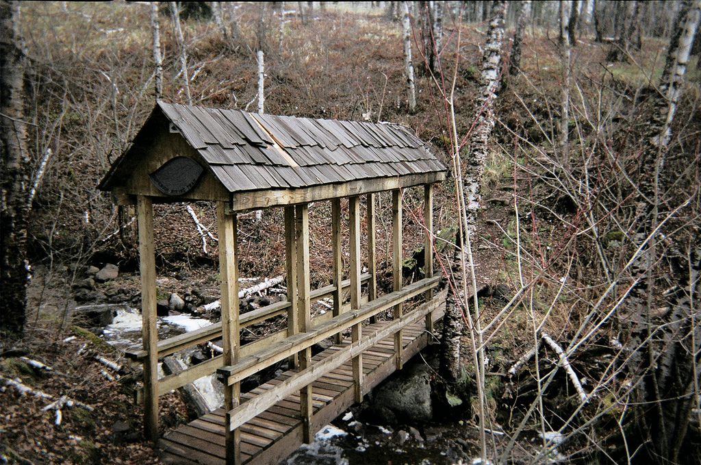
sht-covered-bridge

Photo: SHT covered bridge

East Baptism River camp. Latrine needs relocation for rain/spring melt has completely flooded into and around pit. Possible consideration of completely moving camp might be necessary.
sht-sonju

16:45
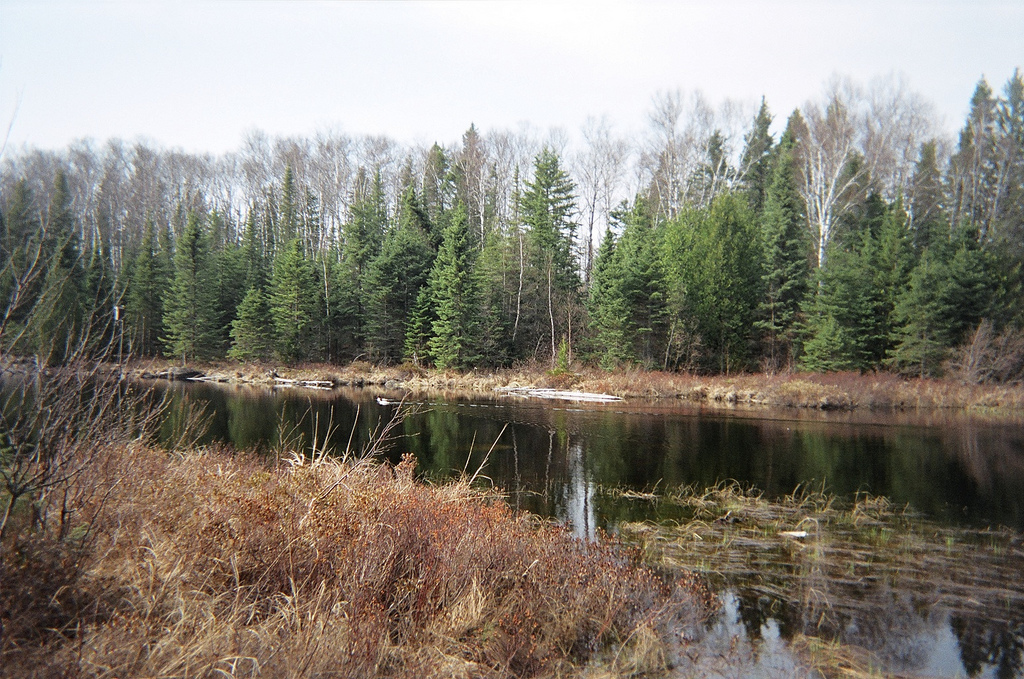
Photo: Ducks on Sonju Lake.

17:00
Well, I’m halfway done and I’m still feeling good. It seems that a lot of pain I was suffering at first has gone away – - but I still get sore. Today I wasn’t even all that exhausted as I got to camp and it was an eighteen mile day. I will forever look at ten mile days as cakewalks I think. I wonder what this journey will do for my body, mind and personna after I leave the woods? Speaking of leaving I have found myself dreaming about taking Heather to Pizza Luce on Sunday night when we get out : )

19:00
All the domestics are done around camp and I’ve come down by the lake to sit on the lovely little dock here. The sun hangs in the sky, lazy. The choir of creatures surrounding me don’t mind me being here and have just struck up a tune. A choir with tens of thousands of players, no composer and no sheet music. A jazz combo of epic proportions. The first few mosquitos of the summer buzz solo parts in my ear. They are huge.

08:00 – 16:15
Step Count – 37120


Monday, May 9th

09:15 – 03:15
Step Count – 28500


Tuesday, May 10th

06:58
The sun is peeking through the clouds, I’ve cooked oatmeal, packed my gear and just waved goodbye to my – can you believe it – campsite partners! Jim and Laura from Mpls. Jim’s a librarian and Laura will be attending grad school for environmental policy.
sht-selfportrait-sect-13

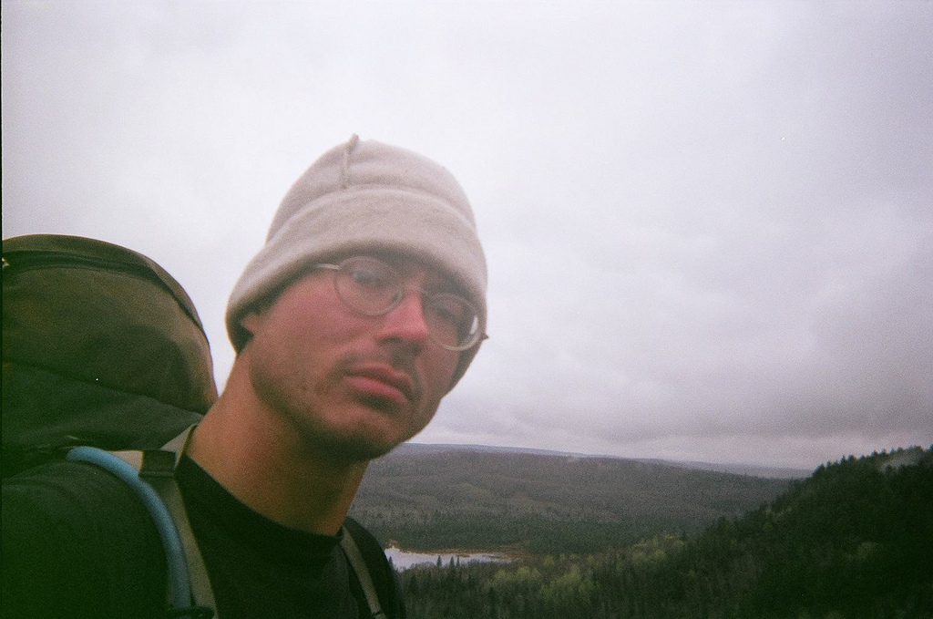
Photo: Self portrait from vista in Section 13 area

13:30
Just climbed “The Drainpipe” – by far the most technical section of the SHT. It was 150’ all-fours climb through a narrow chute of rock. While resting atop it I met Amanda and Jay who happen to be thru-hiking also! They were on day four of eighteen, up from Mankato for adventure.
trailthruboulders

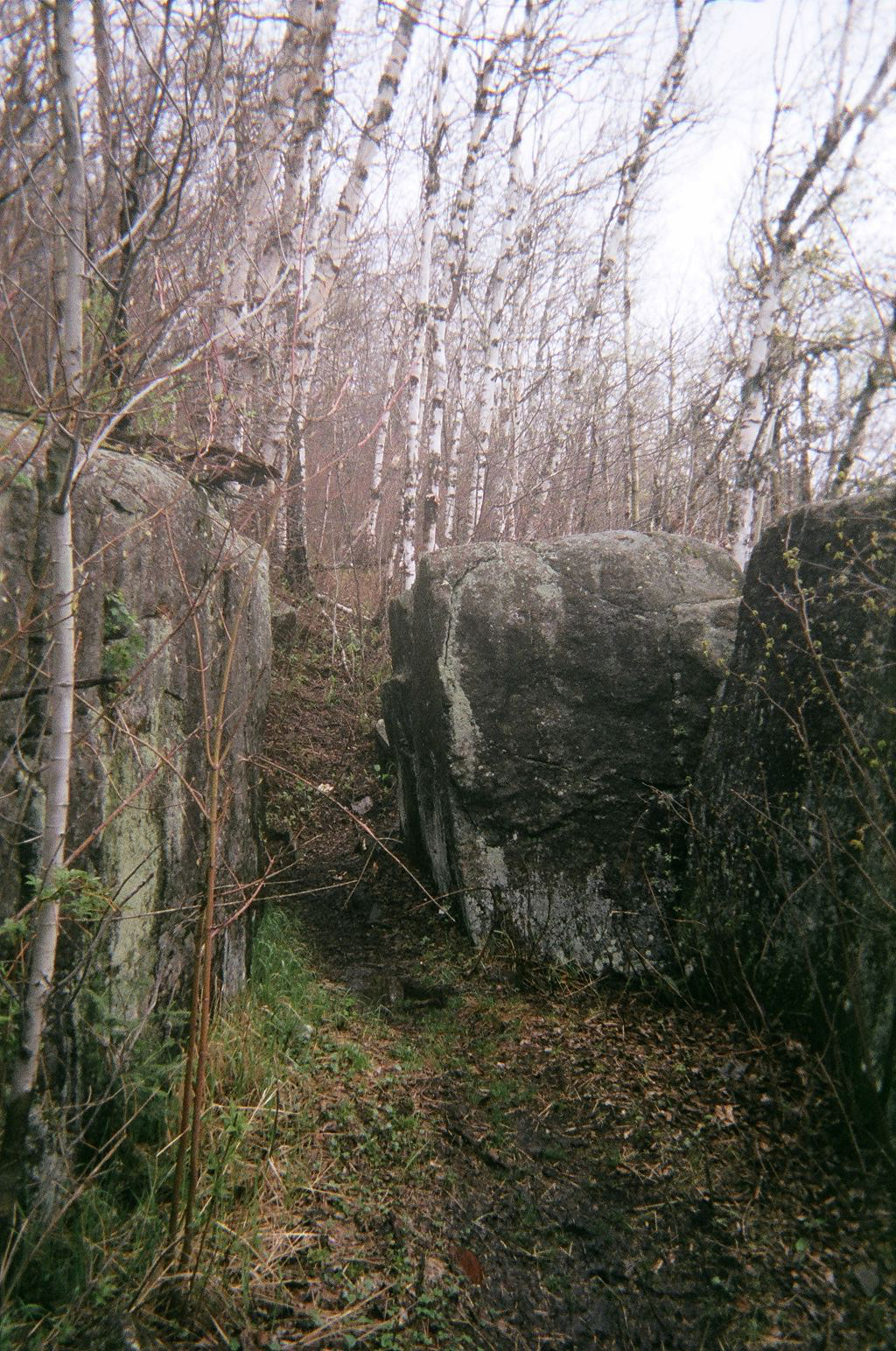
Photo: Trail moving through giant boulders along Sawmill Dome ridge.

14:30
Just summited Mount Trudee and the views are breathtaking. Three lakes to the North, the Lake to the East and the Sawtooth’s and other hills all around. The landscape is slightly speckled with civilization but it adds a feeling of reality to an otherwise pristine setting.
sht-high-falls

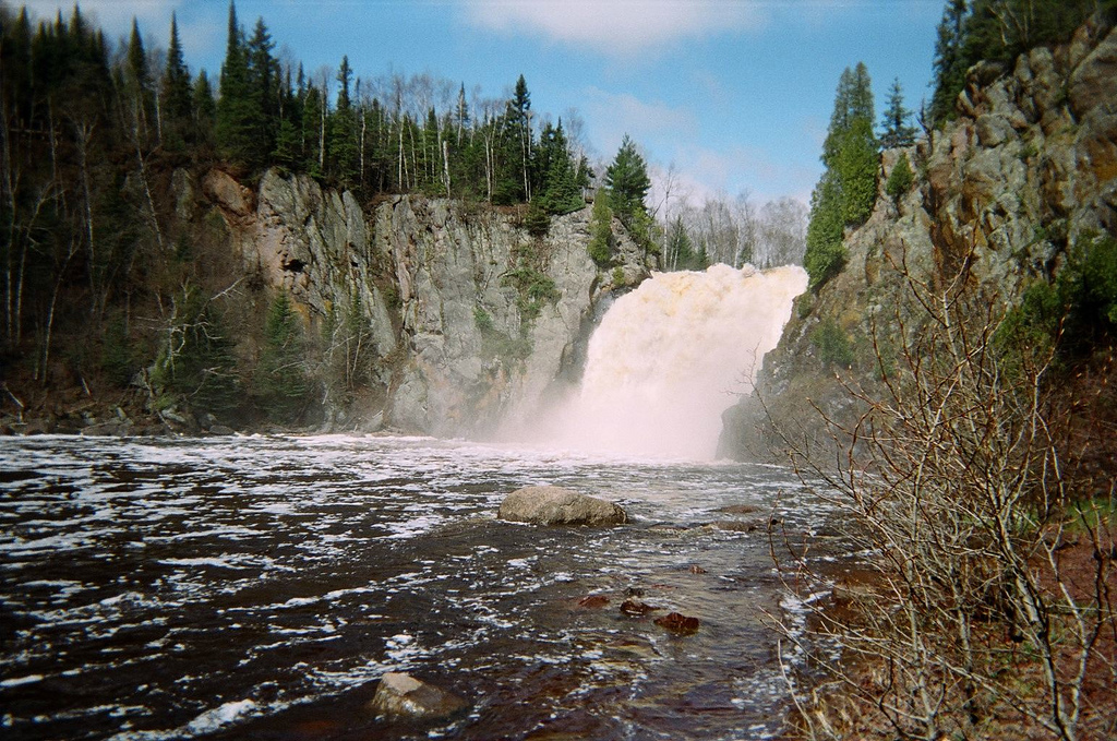
Photo: High Falls at Tettegouche State Park from below.
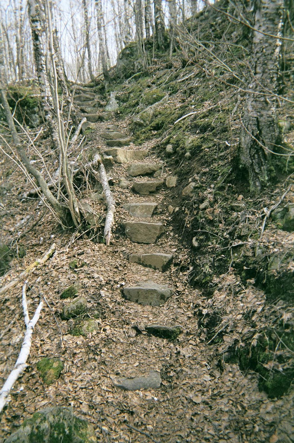
rocksteps

Photo: Beautiful rock steps prior to Bear Lake

18:56
I’ve just sharpened my pencil. w00t!

19:28
When I set out to make this journey – wait, let me rephrase that. When I first got the idea in my head to do this thing, this incredibly intense and taxing event in physical and mental stability and reliability I had it all figured out. Just go out there with the right stuff and get ‘er done. Nice and simple, 1, 2, 3. Ponder now these past days as I solo hike upon the shared ground of two great ecosystems of how in-tune with self and nature one can become if they let go of worry and face hardship and discomfort head on. A tough skin and steady nerves joining in a duet with the environment around you. Wow…words.
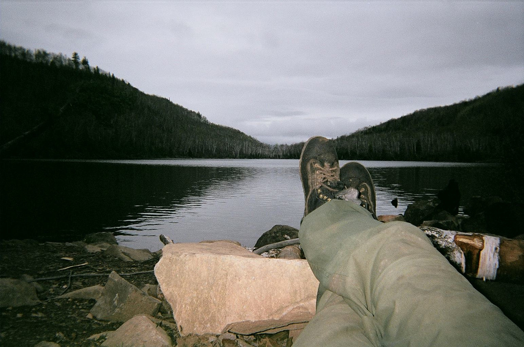
sht-feet-bear-lake

Photo: Reclining in the evening after all the chores are done at Bear Lake camp.

07:10 – 16:35
Step Count – 32297


Wednesday, May 11th

10:09
Reset the alarm twice this morning because I just felt like sleeping a bit. Ended up getting up at 06:30. Got on the trail about 07:30ish. Trucked along, stopping for a minute to gander at beautiful view down onto Bean Lake. Found my way into Silver Bay and asked a jogger where to find a pay phone. Turns out it was where I am now, “The Lounge” bar. Made my call and then ordered a nice glass of Leinenkugels. Ahh, it’s relaxing. Sitting here with a couple locals, sippin’ a brew at ten in the morning. Took a nice sink shower and will roll over to the grocery store for a bit of eats before setting off to find Heather.
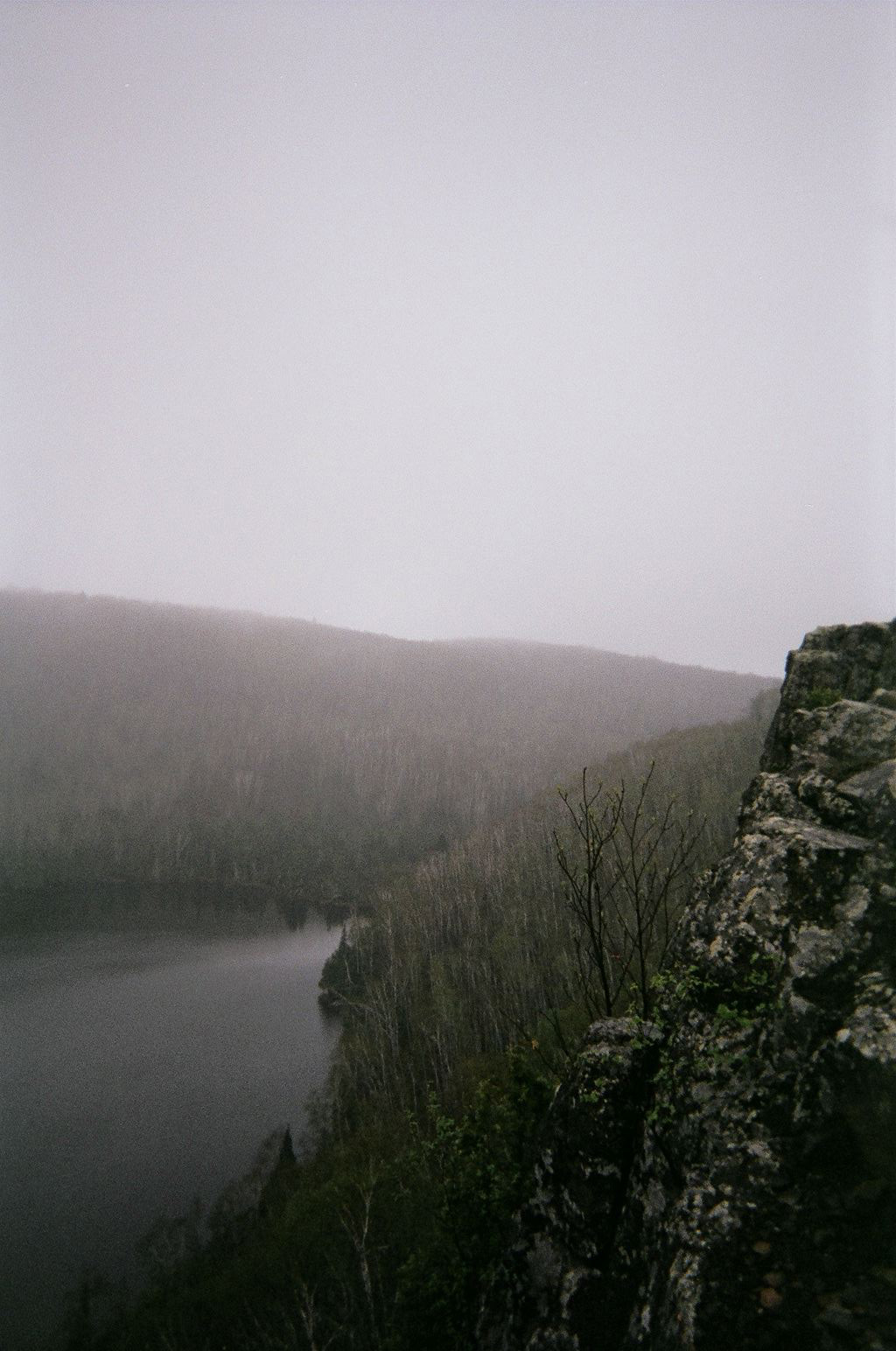
beanlake

Photo: Bean Lake

00:00 – 00:00
Step Count – Unknown


Thursday, May 12th

17:30
So glad to be with Heather again. Her, Tasha, Lily and I did an easy seven miles today.
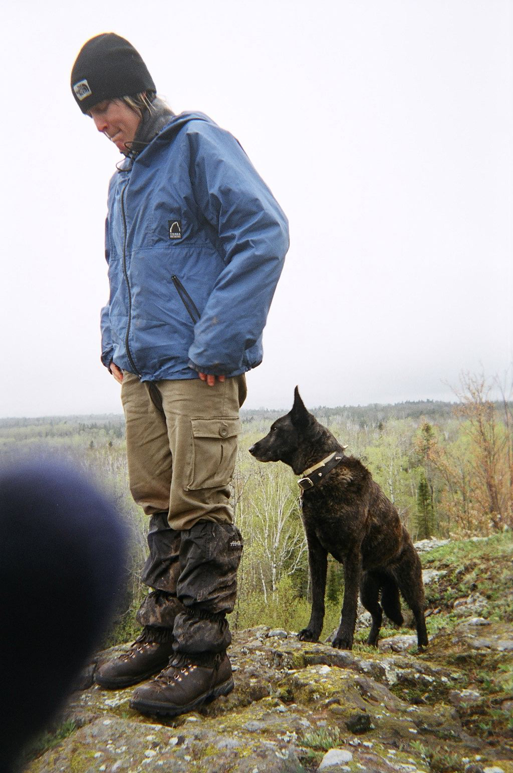
heathertasha

Photo: Heather and Tasha

sht-heather-tasha-lake

Photo: Heather posed with dogs with Lake in background.

10:00 – 03:45
Step Count – 18000


Friday, May 13th

17:50
It was an overcast and chilly day with lots of swamp walking. Some nice looks down into Split Rock River gorge though. Afternoon provided us a nice cliff to sit on and stare out over the birch covered landscape. We’re constantly surrounded by the sound of traffic now, but all is still very tranquil. Tomorrow we’ll hit Gooseberry pretty early and then hopefully hike on to Crow Creek Vista. Sunday will be the last leg of the trip. It will be eerie setting foot into an automobile again, but I’m ready for a little pampering I think. It’s been so nice having Heather and the dogs around – it has and will make the last days seem like a new, fresh set of miles.
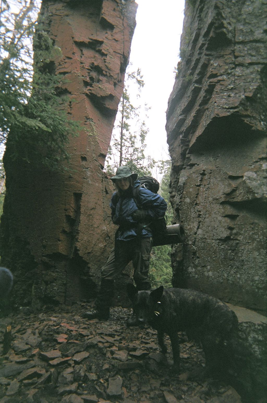
heathertasha-rockcolumns

Photo: Heather and Tasha near Split Rock River.

09:00 – 16:34
Step Count – 15000


Saturday, May 14th

Had some nice words with Dave and his son Travis who shared camp with us last evening. Hit the trail and warmed up at Gooseberry interpretive center. Short walk along river then set up stove for lunch beside some rapids. Seven miles of hiking and we’re at Crow Valley camp. Still wet and shitty out so we cooked under the vestibule and are just laying around until we fall asleep.

09:37 – 17:45
Step Count – 15000


Sunday, May 15th
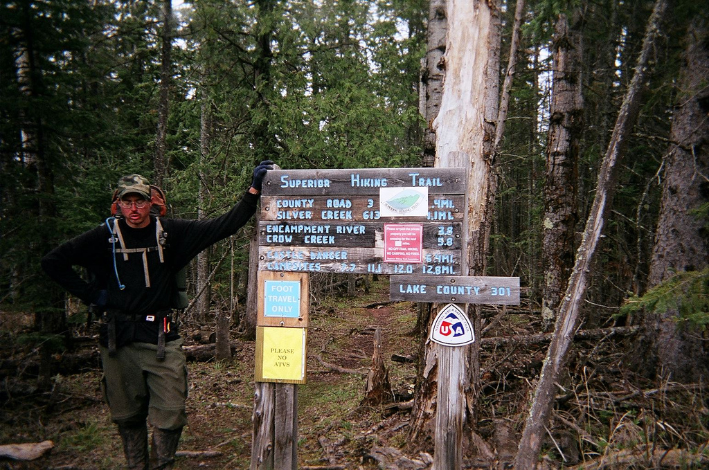
sht-grd

Photo: A sigh of relief over completing the Superior Hiking Trail.

14:00
NWC!

09:00 – 14:04
Step Count – 14467


A gallery of all the photos from this trip is located here.

An approximation of the gear I carried is located here.


Boulder Pass Loop – Glacier National Park – 2004

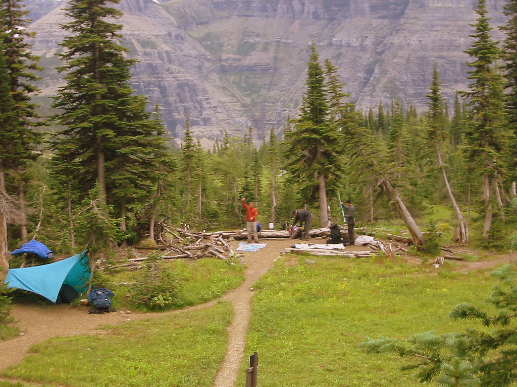
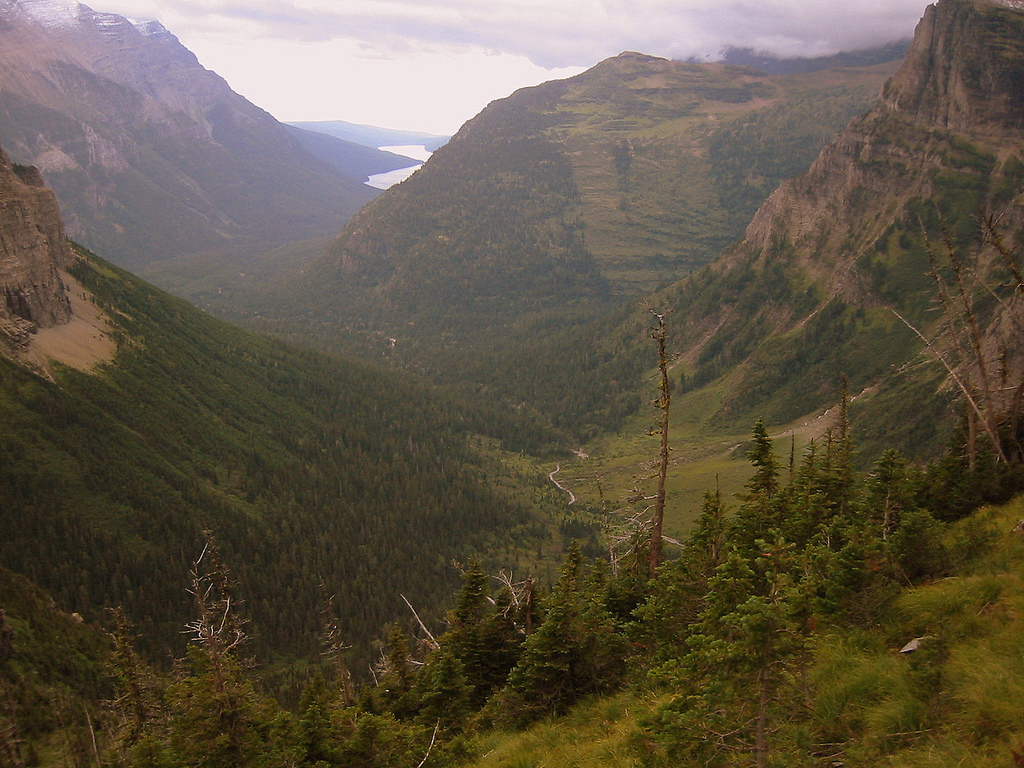
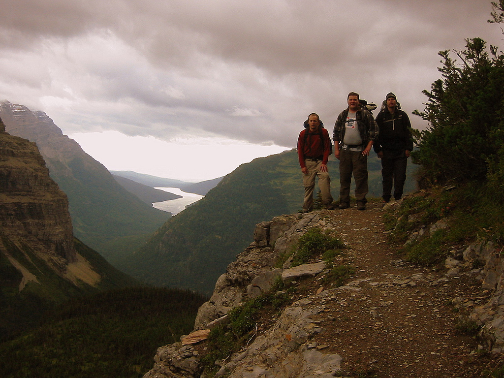
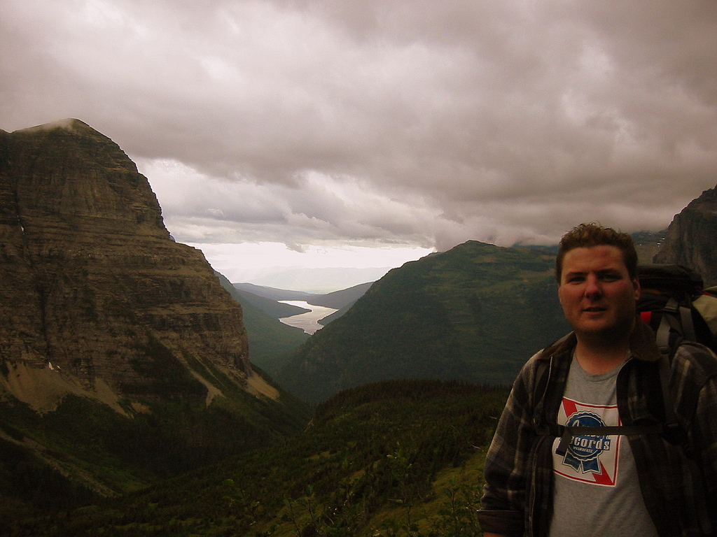
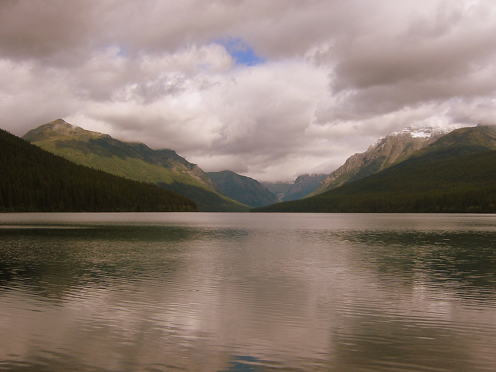
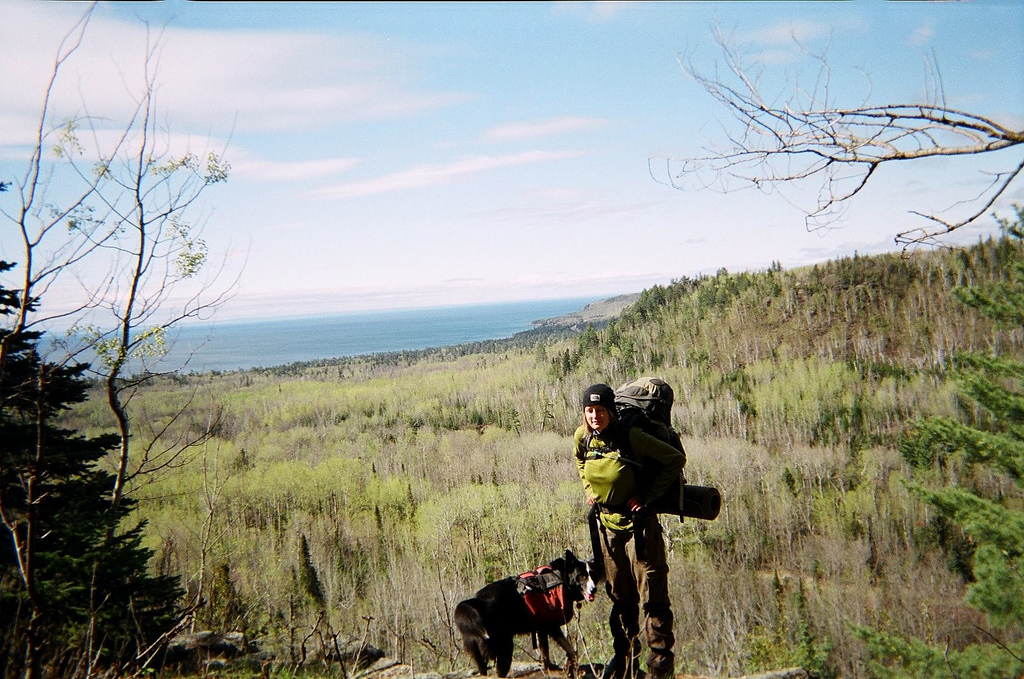
In September 2004 I was living in West Glacier, Montana and invited a group of college buddies out to meet up for our semi-annual backpacking trip.  On this go-round we opted for the exceptional Boulder Pass loop in the northwest corner of Glacier National Park.

Eric, Mark, Mike and I acquired permits for Bowman Lake, Hole-in-the-Wall, Boulder Pass and Kintla Lake in the North Fork region of the park for the opportunity to show some flatlanders just why that part of the country is called the Crown of the Continent presented itself excellently.

Below are a sampling of the photos from the trip.  The full gallery can be viewed here.
3445413786_3b2a23b949_b

3445408742_0b583453af_b

3444590563_238293df35_b

3444586351_4d3a63afbe_b

3444583467_acf7de8ff7_b

3445399304_41ae60cfa4_b

3445397492_53f25958bf_b

3445394338_131367eaca_b

3445391098_78975484d4_b

3444570555_65d37b1dfe_b

3444568637_44e9b5a68c_b

3445385320_4e1daf24bf_b

3445384794_0f31d9cea3_b

3445380690_d5e336c631_b

3444562149_6aaee3c050_o

3444560405_b6de2f998d_b

3445376554_315c71eb6e_b

3445375722_84c1645818_b

Twelve Months and Twelve Great Trips in 2014

Dave C., who writes Bedrock and Paradox put together a nice little piece entitled “The 12 best miles of 2014“. I enjoyed the concept so much that I spent some time pondering back across each of the twelve months of 2014 to think about the best miles covered during each. 2014 was a good year for us and we made great efforts to make the most of it from day hikes, to car camps, to backpacks, to backcountry ski trips. So here they are in order from January through December my Twelve Great Trips of 2014.

12121824404_662292877b_k
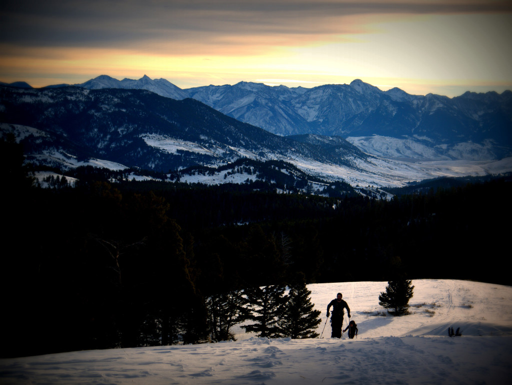
January: One of my steadiest backcountry ski partners, his dog, another friend, and I headed to the Northern Gallatins for a pre-dawn backcountry ski.  We topped out on the ridge as day was breaking over the Absaroka-Beartooth Wilderness Complex.


12280555405_44473a0540_k
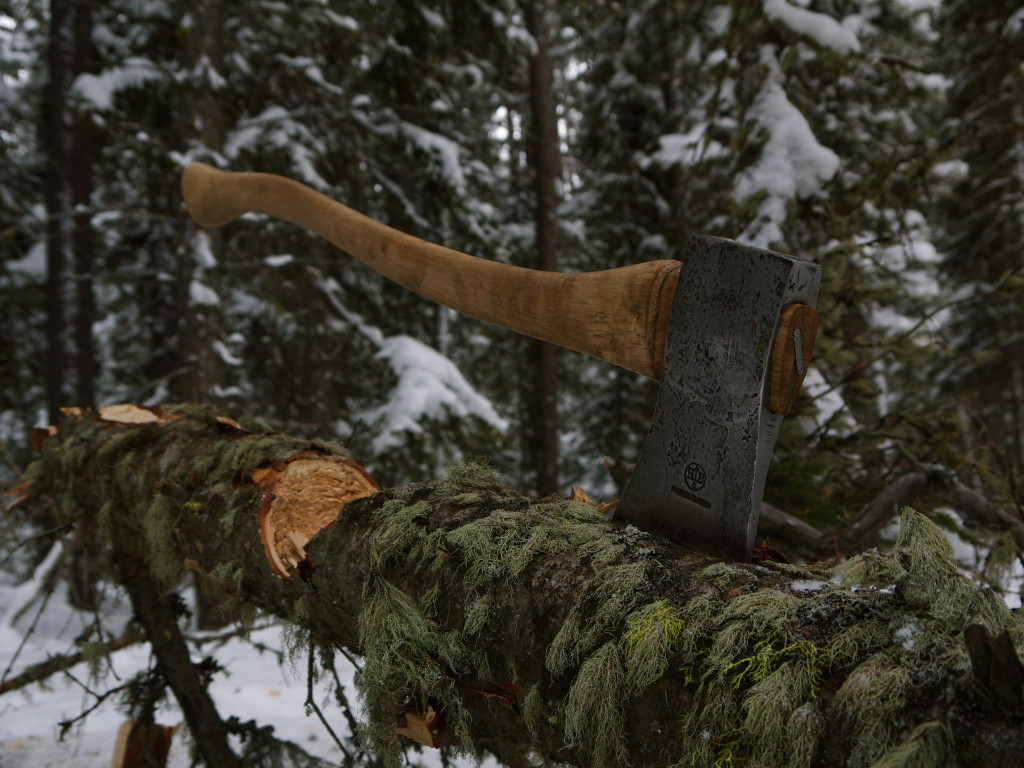
February: A favorite weekend activity for my wife and I early in 2014 was to take a few mile cross country ski into the Forest and have a campfire and picnic lunch.  On this particular outing I had recently finished refurbishing this ca. 1940s Hults Bruks axe and it felt great to deftly swing it in the sub-zero temperatures.


12911022675_af86b14360_k
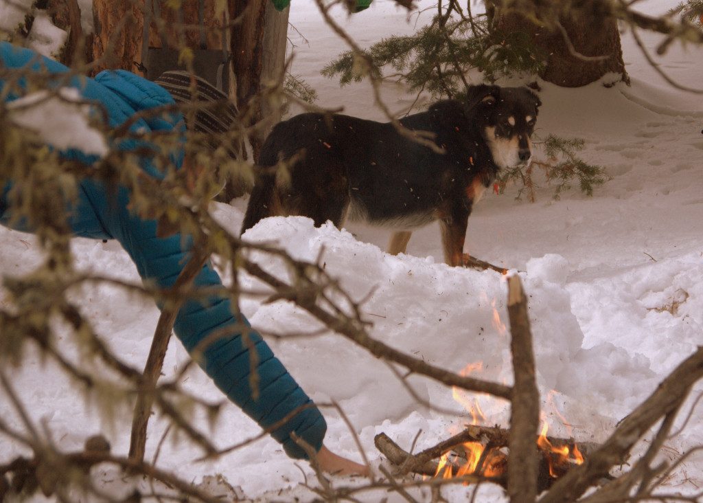
March: We lost out beloved Gus in April of 2014.  He was a wonderful trail companion and loved our day trips.  On this particular afternoon we hiked along a snowy, but packed out trail, then post-holed away from the beaten path for a campfire and some frolicking.  This was one of the last times Gus got out to play in the snow.   Losing him was probably the worst thing to happen to us in 2014.


14049532552_29ce33b641_k
April: My friend Mason and I took advantage of the ski resort early-April closing date and hiked ourselves to the top of some normally people-filled lines for some very sublime #bbowlslidin.


14046497117_3e6cc0fd12_k
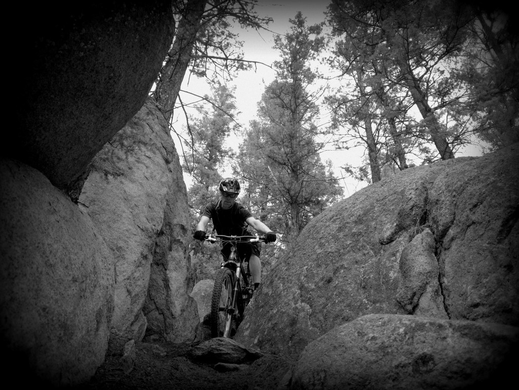
May: A Butte music promoter brought his generator, lights, turntables, and tent out to the Pipestone BLM land and invited mountain bikers from all over to come ride the trails by day and boogie down at night.  Here Mason graces a steep downhill crux.


14252623989_f9b48287f8_k
June: Car camping near the Highway 212 Beartooth Pass for summer skiing is an annual tradition ’round these parts and I’ve partaken for a few years in a row.  We avoided the bros along the highway hitchhiking laps and instead opted for a longer backcountry route both days we were out.  On day one a friend and I climbed and rode the lower half of the well-lit couloir photo-center in the Rock Creek drainage.


14405731297_2c1971ff80_k
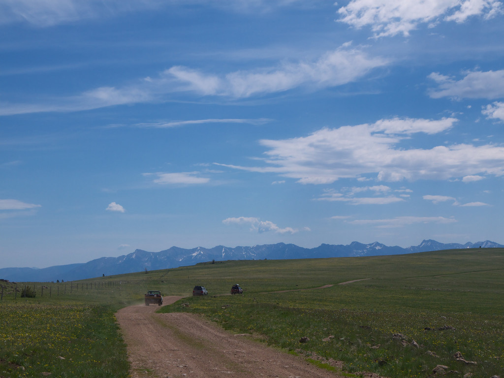
July: I couldn’t quite decide on which trip to feature as my favorite from July.  We had the opportunity to drive a few hundred stellar miles of alpine road along the top of the Gravelly Range as well as a wilderness canoe trip along the Smith River.  The overland truck trip is still new and unique to me and it all came together with such perfection that it scored the highest.


14820827554_3ee0d925eb_k
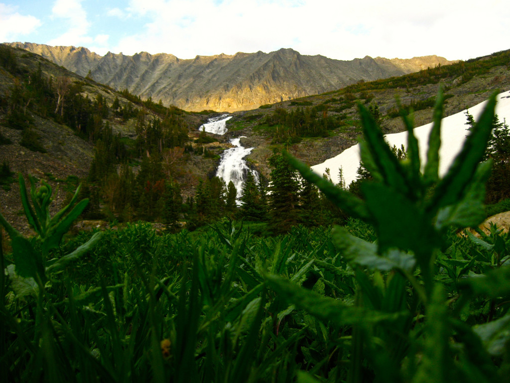
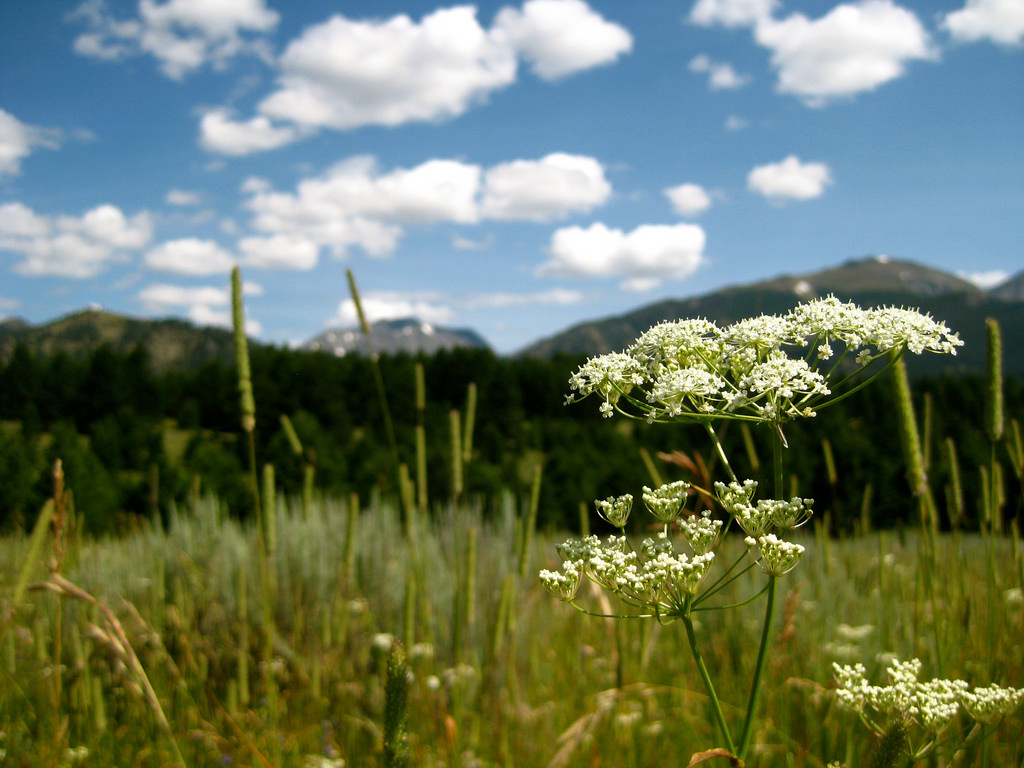
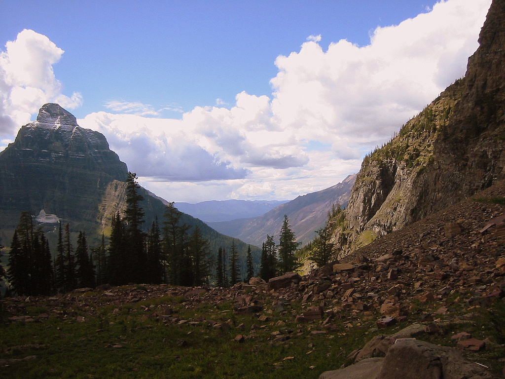
August: My wife and I were prepping for a long trip in Yellowstone and this trip into the Crazies’ Rock Creek drainage provided us with great solitude and epic views.


14945076008_db3538c454_k
September: I ended up going solo across the Pitchstone Plateau and up the Bechler River in the SW corner of Yellowstone National Park over Labor Day weekend.  I put down big miles in hypothermic conditions, fished some gorgeous streams, and soaked in the most beautiful backcountry hot springs this side of anywhere and loved each and every minute of all of it.


15525869651_c76cf4d97f_o
October: A scouting trip into the Gallatin Mountain Range south of Bozeman looking for possible hunting spots was my favorite trip in October.  As is always the risk that time of year I went to bed in the Autumn and awoke to Winter and a half foot of snow.  Although I never ended up going back to this zone to hunt it was still a great look at an area I’d never visited before.


15898312756_3f377bf8c9_k
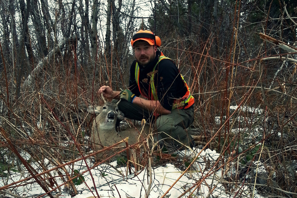
November: After weeks of trying this short little walk in late November might have been the most fulfilling of all in 2014.  I was less than three miles from my truck but it was a long, slow, and hard hike with the 70+ lbs. of hunting gear and this beautiful Whitetail spike on my back.


2014-12

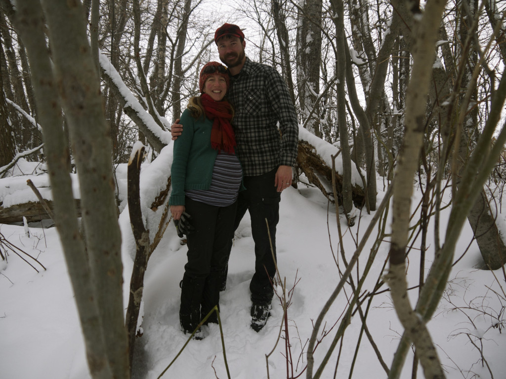
December: This was a quiet month with lots of short little walks and skis.  As you can see from my wife’s belly we are fully focused on welcoming the newest member of our family into the world and until then are making the most of the exceptional town trails that lead from just out our front door.

Rock Creek – Crazy Mountains, Montana

The Crazy Range is a seldom visited range located in Southwest Montana between Billings and Bozeman. Geographically it is very distinct in that it is not interconnected with other ranges but instead stands alone. From the high peaks within its borders a view to the West is the sea of mountains that form the Rockies but turning East the view is of the seemingly endless American Plains.

I have explored into the Crazies but a scant few times and all within the SE corner (closest to my home). Getting there puts you on long stretches of gravel roads and it is very much located in the “real Montana” – more rancher than recreationalist. Our plan this summer was to check out at least a couple new zones so I put a trip into the Rock Creek drainage on our calendar.

14636532979_8abf08318b_b

The trail is a popular hunting access in the fall given the somewhat limited public access of the Crazies compared to the quality of game. It is also more popular to dirt bikes than backpackers and we encountered a few riders on our hike in. The trail is very, very rocky and we were pretty amazed at the kind of skill level required to navigate this trail behind the throttle.

14820819284_8fc72b35bd_b

The trail crosses a chunk of private land and in this section we had the exquisite opportunity of spotting a beautiful cinnamon-colored bear that I believe was a grizzly about a hundred yards off the trail. The bear was more interested in clawing apart logs probably in search of an insect snack than us but it did acknowledge our presence and we didn’t hang around too particularly long. After a short stint on a private road the trail crosses the swiftly-flowing Rock Creek and winds it’s way up the waterway. The valley is long and generally flat, only beginning to gain the major elevation to it’s headwaters in the very last few miles.

14820827554_1424ca5a20_b

The climb is steep and the trail is faint due to the lack of motorbikes wishing to attempt this section and the otherwise low number of visitors. Faint trails are some of my favorites and it brings a sense of focus to an on-trail hike that can otherwise be lacking. We gained the top of this climb and although it was already August we were instantly transported into what is only early Spring in the alpine. Huge snowfields covered the landscape and in the sections that were melting the wildflowers popped with the brilliant color of fireworks.

A magnificent waterfall flowed out the headwaters and the creek ran rampant in braids over the lush and budding landscape. The actual headwaters up around the lake was more than likely a barren rocky expanse sans firewood and soft camping so we opted to pitch the tent here – knowing that we would fall asleep to the soothing rush of the water as it fell from the waterfall and moved swiftly past us in the creek.

14820100391_5a4fed2597_b

A light rain began to fall so the shelter went up quickly as Torie inflated her sleeping mat for a quick nap. I took the opportunity to don my rainjacket, collect some firewood to keep dry under some trees and to photograph the waning alpenglow light as it twinkled behind the raindrops. The photos I’m sharing here today were some of the most brilliant color-wise I took all summer long. Not expecting the rain shower to last too long I prepared a warming fire for when Torie awoke and we wished to have dinner.

We enjoyed the evening, the stars coming out with absolute brilliance in a landscape completely devoid of artificial light. We slept comfortably and after a pleasant breakfast and coffee we picked our way back down the steep trail. On the way out along the creek we lingered in the swift ford to soothe our hot feet and upon reaching the highway and heading into Livingston we filled our bellies with requisite Mark’s In-and-Out burgers, fries, and malts. Another awesome Montana wilderness weekend was in the books.

Memories of a Fun Trip with Mike C!

Turn back the clock to August 2011. I was recently unemployed and couldn’t decide between hiking the CDT from Glacier to Yellowstone or spending a few weeks in the beautiful lake country of Northern Michigan where my girlfriend was stationed for the summer so I decided to pick a little bit of both before putting my nose to the grindstone to find another job.

I found an airline ticket out of Salt Lake City back to Michigan and planned my trip south from Bozeman. I planned to do a couple things between here and there in order to appease my hiking desires prior to spending quality time on Lake Michigan. I signed up for a Continental Divide Trail Alliance (read my Sep. 2011 trip report) volunteer trail building session in the Lionhead area of Gallatin National Forest. We spent a few days digging tread, re-building a failing culvert, and trimming overhead vegetation during the day and eating excellent grub and enjoying cold ones in the evening. I highly recommend a CDT or other volunteer project as it gets you to some beautiful country and gives you the opportunity to give back to the organizations that maintain the trails we know and love.

Conveniently located between my volunteering session outside of Yellowstone and the airport I was making my way toward in Salt Lake City is a sleepy little burg on the quiet Western front of the Tetons – Driggs, ID. Infamous “lighten up” NOLS instructor, graphic artist, and all around good guy Mike Clelland spends his days here and I pinged him on my way down to see if he’d be into an ultralight 24 hour jaunt up into the hills outside his home. I arrived in the afternoon and we threw together some grub and gear and drove a short little distance to one of Mike’s favorite trailheads just up the road from his house.

2011-08-22-20-09-45-303

2011-08-23-09-34-12-025

Mike and I instructed a few sessions of the Backpacking Light Wilderness Trekking School together in ’09 and I hadn’t seen him much since, nor gone camping with him. What a great time it was practicing what we preached purely for the enjoyment of the sport we loved. We packed really light with no shelters as the weather up near the Teton Crest was expected to be precip-free. We connected a couple trails together with a little off-trail jaunt with some of the finest craggy views the lower 48 has to offer. Our super light sleeping bags were enough to keep us warm until just a bit before dawn so we awoke from our sleep atop a large expanse of rock long before the sun crept up over the Grand Teton and high tailed it back down to the valley. Mike to get back to his freelance work and me to hit the road to SLC.

2011-08-23-10-56-12-749

2011-08-22-20-03-07-053

Michigan ended up being a total blast and a few years later I made that gal I was visiting my wife – so a trip there was well worth it!

A Successful and Rewarding Season of Hunting

My grandfather hunted deer before I was old enough to fully grasp the concept but it was not an activity that my family practiced into my childhood.   My father would take my brother and I to the sandpit to target practice with the family .22 so shooting at pop cans was about the extent of my hunting career until this fall.


My wife and I are now homeowners and in our backyard we’ve created a nice series of vegetable gardens. We participate in a community supported agriculture (CSA) program, and make a concerted effort to put healthy, local, and responsible eating choices at the forefront of our life.  My wife is far more a green thumb than I so I felt that being able to bring locally harvested meat to our table would be a worthy addition to our food needs.


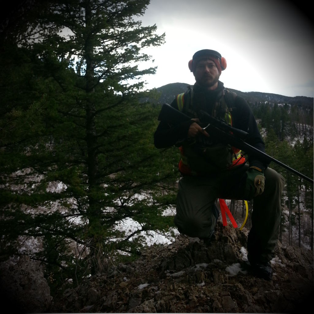
I began my research early in the year, focusing first on educating myself about hunting rifles, ammunition, and hunting-specific gear.  I opted for a .308 caliber Tikka T3 rifle mounted with a Leupold Vx-2 3-9×40 scope on Warne rings.  For the rifle I fashioned a DIY sling and set out on multiple camping trips and a visit to the local range to sight it in at 100 yards.  I purchased a few hundred rounds of high quality surplus ammo and put a few dozen rounds down range in order to become proficient in it’s use and familiarize myself to it so using it would not be strange to me when it came time to get serious.


With new gear choices complete I set out to modify my North Face MG55 backpacking pack (a staple of my GNP trail crew days when 50lb. loads were not uncommon). It has a comfortable hip belt and shoulder straps, two aluminum stays, and with only a few hours of work I was able to cut off the pack bag, add a load shelf and a series of 1″ straps and buckles to accommodate both camping gear (inside drybags) as well as upwards a large amount of animal weight (I tested the pack up to 90 lbs).  On the front I employed a Hill People Gear Kit Bag which provides quick access to my binocular, energy bars, and other sundries.


The general rifle season isn’t until late Fall in Montana but I began spending weekends in possible hunting locations a month early trying to get a feel for where the deer live and possible spots I could get goods shots. I obviously love camping so these scouting trips were fun backpacking trips in gorgeous country that could hardly be considered work. On the side I was watching online videos teaching myself about field dressing animals, and reading up on advice from backcountry and frontcountry hunters alike.


The season opener finally arrived and I headed to a section of woods very close to my home in hopes that I would be able to harvest a truly local animal. I hiked the five miles to my selected spot after dark and upon arrival laid out my bivy, set my alarm for a pre-dawn wake-up and went to sleep. I was awake and in position 45 minutes prior to sunrise (the season officially opens 30 minutes prior to sunup). I spent the entire morning and early afternoon posted in a single location which I thought would be a good pass-through area for critters moving from one drainage to another. Unfortunately I saw only one creature that day and it was a fellow orange and camo-clad hunter. I moved down into one of the drainages late in the afternoon, found a very prominent game trail and a watering hole and posted myself up to sit for a few hours until sunset. Once again, I saw nothing. The story repeated itself the next morning as I sat at the same spot from the previous evening and then hunted my way down this trail-less valley slowly and quietly back toward my truck.


2014-hunt-blackmore


The following weekend I decided to head about 35 miles from town to another zone I had thoroughly researched through aerial photography. This location would allow me to drive my truck to within a mile of the creek and its surrounding hillside that I wished to hunt. This location allowed me to use my truck camping setup which is very comfortable but still required a couple miles walking to the zone, up the creek, and then back to the vehicle. Once again I was skunked for the whole weekend not even seeing a single animal.


I went out four weekends in a row only taking an evening or morning off here and there. Camping out most nights and trying to hunt as many of the dawn and dusk sessions as I could. Over the course of the entire season I consumed around 25 gallons of gasoline in traveling to various zones and I was beginning to feel like that kind of consumption didn’t add up to my goal for this activity to represent sustainable eating.


I had decided to return my focus to the zone close to my home for the remaining weekend of the season I didn’t already have scheduled with holiday commitments and begin heading there for evening and dawn sessions, returning home overnight. By this time of year sunset and sunrise are so far apart that camping requires you sit in the dark from five in the afternoon until nearly eight in the morning so I decided to my time was better spent at home.


I decided to hit the zone for a dusk session on a Friday after work. I had cut out a couple hours early and by 3:30pm I was in the woods, on my knee, rifle up to my eye with a spike whitetail buck in my sights at well under a 100 yards out. He was small-ish and although this was the first legal buck I’d seen in all my hunting so far I hesitated very shortly.   Short enough to give pause think about what it meant to kill him, but long enough for him to get behind enough trees and begin walking away from me out of sight and out of range. I spent the next 24 hours pondering this decision and whether I had made the right choice.


It began to snow on my hike out of the woods that evening and I wondered whether my season would end that week without a critter in our freezer. I came back at dawn the following morning and posted myself in a position where I expected the little guy I had seen the night before would come back up and out of the lowlands. Sure enough, about 15 minutes after sun-up he appeared 300 yards across the logging clear cut I was stationed at. He was outside the distance I was comfortable successfully targeting and shooting so I just watched him follow a game trail up and over a ridge and then I set out to stalk him just for the thrill of it – not really expecting to find him.


“Because I choose to eat meat, I assume responsibility for acquiring it, rather than entrusting it to proxy executioners, processors, packagers, and distributors.” – Steven Rinella


I had followed his trail for a ways before losing it and then followed some new game trails I’d not seen before – not one to miss out on an opportunity for a new place to explore. I slowly hunted my way down these trails, back along the logging roads and then the final trail to my truck. The weekend was over and the following weekend was Thanksgiving. With friends from out of town arriving Wednesday night my days off from work were over and I braced myself that my first hunting season was about to close and I without a successful harvest.


I simply couldn’t give up just yet and I phoned my boss on Monday night requesting if he’d mind if I came in a few hours late on Tuesday. He agreed and I hit what I’d decided was the sweet spot to intersect one last time with the Whitetail Spike I’d now seen twice. I took what I’d learned in seeing him the first two times and posted myself up at sunrise in a clearing that I hoped was his exact route of travel for that morning.
 

At 8:15am I was glassing a clearcut when out of the corner of my eye I spotted movement. I quietly backed off the rifle safety, reminded myself to slow my breathing, brought the weapon and scope to my eye and began to follow him in my sights keeping target on the zone just behind his left shoulder. I was sitting atop a small knoll and he walked into the draw below me, out of sight for a few minutes. I worried he would walk up the hill toward me – scare, and run off. Instead, thankfully, he took to the opposite bank. The wind was in my favor and I sat still – scope affixed at the correct level – but he was facing away from me and not broadside – no good for a successful shot. He next turned to his left but at the same time put his shoulders behind a tree while he nibbled at brush. My heart was pounding but I was practicing a controlled breath and the scope was not shaking. I knew the time was imminent, that I would kill this animal and that he would provide my family a bounty for the coming year.


2014-hunt-sam-with-rifle


He took one step forward, exposing his sides from behind the tree and I did not hesitate. I waited only an instant for my brain to register that where my scope was aimed on his body was in fact the kill zone and I gently squeezed the trigger. His reaction was instantaneous as the bullet connected with him. He spun 180 degrees and bolted very quickly. I chambered another round just in case as I carefully watched where he went until I could no longer see his tail as it disappeared over a slight rise into some trees. Gathering my pack I put the rifle back on safe and proceeded to the point where the bullet had connected with him to begin tracking.  I fretfully hoped I had fired a killing shot that would end his life quickly and with little pain.


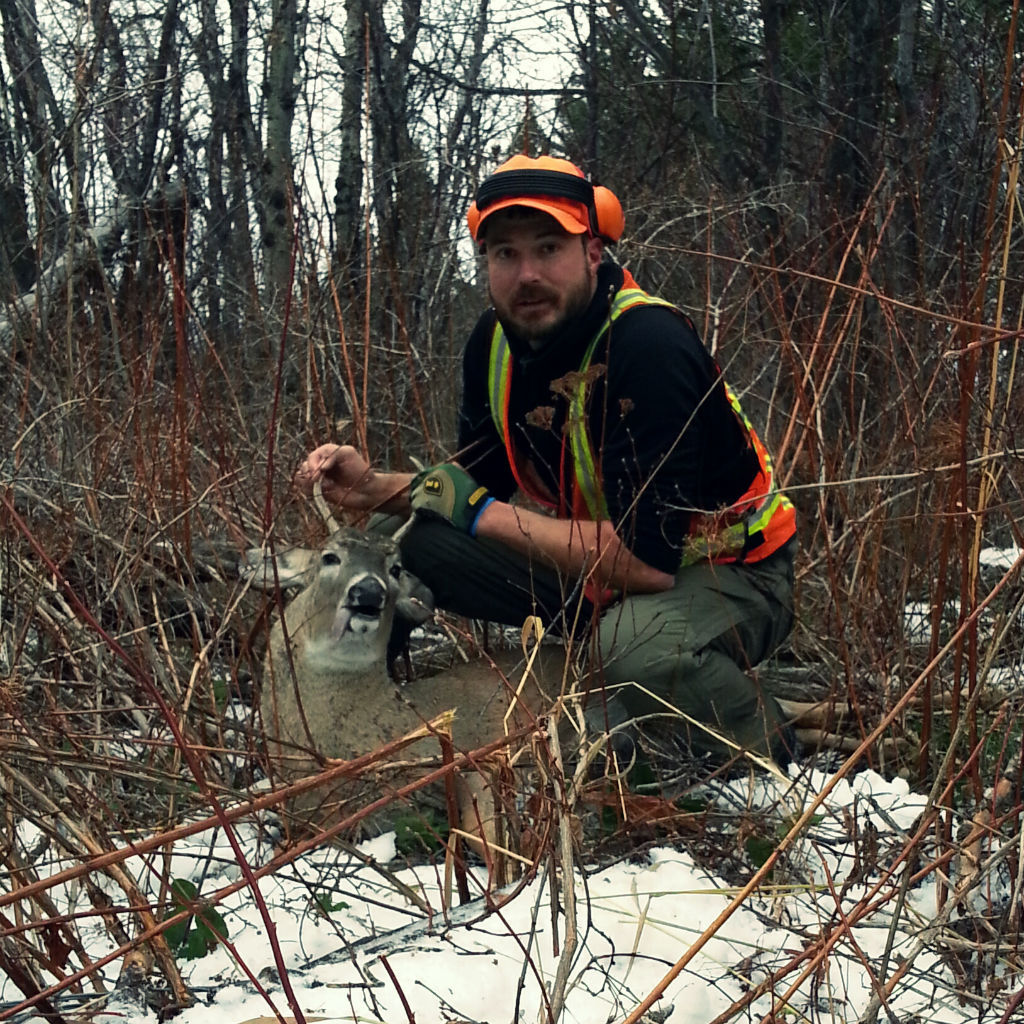
His tracks were easy to spot where he had been standing a few minutes previous. I followed them only a short distance and then began to spot blood. Following these spots and his tracks for only ten or 15 minutes I came upon him in a shrubby area about 200 meters from where I’d shot him.


I stood looking at him for a minute, in awe of the awesome power behind taking a life. But at the same time, I stood without guilt. I had thought over this subject for many months, what it means to kill and that as a meat eater it is not only a perfectly acceptable thing to do but also one of the few ways to be able to do so in good conscience.


To hunt and butcher an animal is to recognize that meat is not some abstract form of protein that springs into existence tightly wrapped in cellophane and styrofoam. – Lily Raff McCaulou


I laid my hand on his chest, thanked him for what he had done for me, his hide still warm under my un-gloved palm. A slight rain has started to fall and it shook me from my awe and I put on my game face. I gathered my equipment, reviewed in my head the steps I would now need to perform the gutless method on my harvest and set to work.


It took me significantly longer than I expected for the overall process. I had fired my rifle at approximately 8:15am, had him on the ground and tracked by 8:30, but did not have my game bags full and my bounty loaded onto my backpack until 11:45am. I began the two mile hike out of the woods. My best estimation is that the meat, bones, head, plus my gear, pack, and rifle weighed between 60 and 70 lbs.  The going was slow on the icy and snowy ground and the two miles took me around a hour to cover.


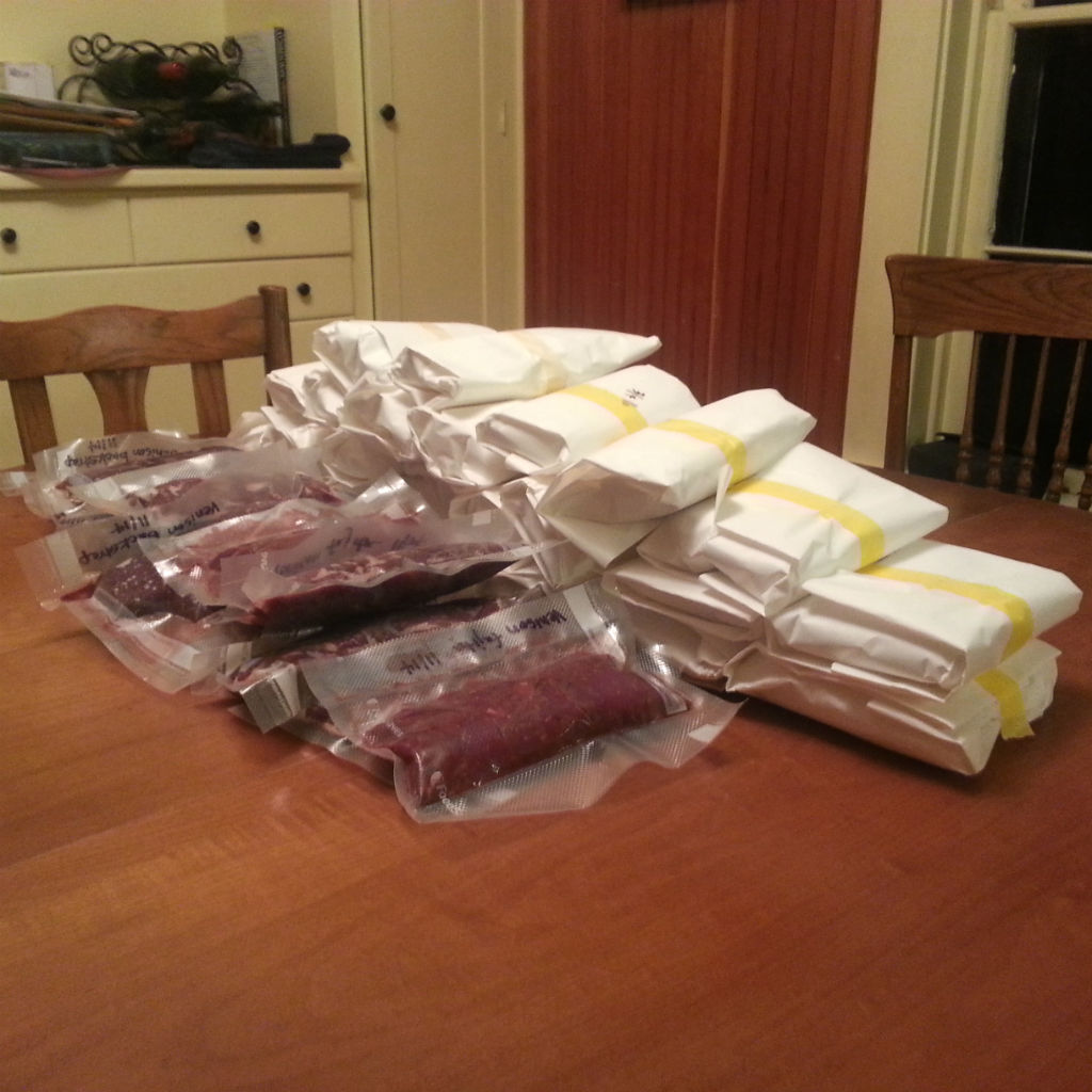
The hunt complete there was still much work to be done. I packed the meat bags into my fridge at home and got to my job to finish out the work day. Afterwards, I hurried home and prepared our kitchen for more work. That night, as well as the next, and then one more afternoon a few days later my wife and I, as well as a friend helped prepare and clean both steak meat and the rest of the meat we’d grind into burger. The second night after the hunt I grilled four small bacon-wrapped backstrap steaks and my wife prepared roast broccoli and baked sweet potato. It was one of the most powerful meals of my life and I savored every bite of it.


A friend of a friend has a heavy-duty 220 amp meat grinder and I reserved a slot yesterday afternoon to grind up the majority of the meat into burger. The process took just shy of two hours from arrival to having everything wrapped and taped in butcher paper. Tonight I will invite the friends who helped with the cleaning over for dinner and we will savor plates of venison tacos.


The consumable costs:
$8 conservation license
$16 deer license
$87 gasoline

The rewards:
8 lbs. steak meat
25.25 lbs. burger meat

Cost/benefit analysis:
$111.00 / 33.25 lbs. meat = $3.33/lb

2014-hunt-meat-on-table