Snowbiking Chestnut Mountain Trail
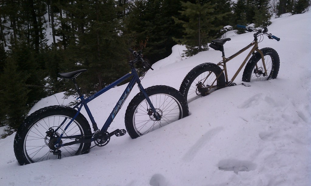
Quality Bicycle Products supplied my favorite local shop, Bangtail Bikes with a couple demo snowbikes recently. Mike and I have taken them out on three separate occasions and put roughly fifteen miles on them.
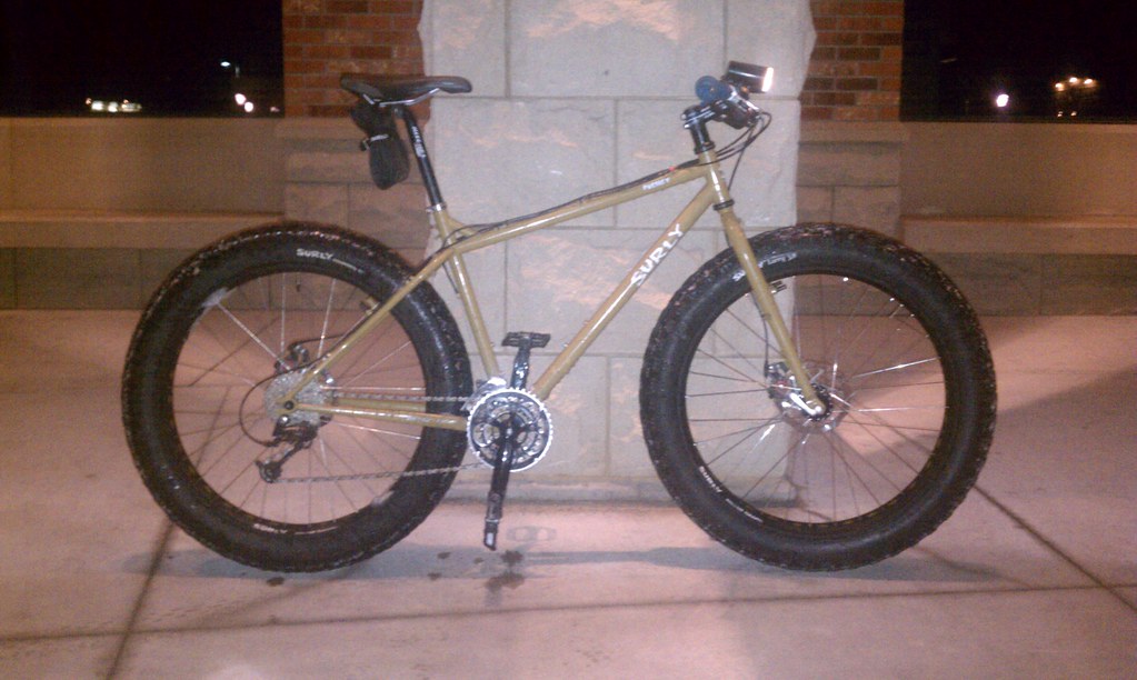
The first rig is a Surly Pugsley:
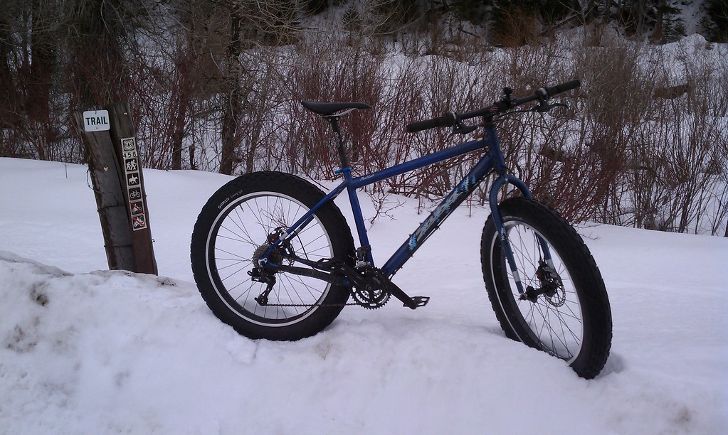
The second rig is the newly released Salsa Mukluk:
Both rides are equipped with Surly tires. These tires are inflated to an amazingly low six p.s.i. of pressure and are sized at 3.8 in. (9.65 cm) wide. The flotation from these things is spectacular for riding on snow or sand.
It’s no doubt that a number of the readers of this blog are familiar with the Pugsley snowbike; probably having heard either directly or offhandedly in their use along “The Lost Coast”, Iditabike, or the Arrowhead 135. The Salsa Mukluk frameset is new and doesn’t yet have the same badass reputation as the Pugsley. Cyclists are stoked about it however because it differs from the Pugsley in that the wheels aren’t offset from center making for a slightly smoother turning action. Personally I don’t mind the offset because most of the usage of these bikes are at relatively slow speeds on highly-diverse terrain not making the offset as noticeable as it would be at speed on asphalt.
I first rode a Pugsley in 2009 while visiting family in Minnesota. My brother and I took them out for a trail ride in the popular mountain biking destination, Theodore Wirth Park in Minneapolis. The riding on a packed snow trail is excellent and rivals summertime singletrack riding. That evening after the trail riding we sessioned the bikes for a couple hours jibbing on snowbanks for a few hours.
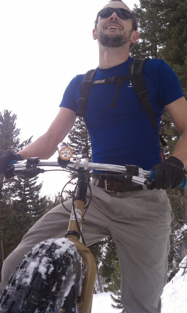
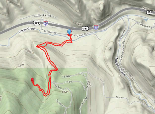
This past weekend Mike and I took the Pugsley and Mukluk to the Chestnut Mountain trailhead near Bozeman and were able to ride them about 1.5 miles up the trail before the amount of foot traffic had lessened enough to not provide an adequate riding surface. Riding back down the 1.5 miles was exhilarating. There’s little scarier than having both front and rear disc brakes locked up as you and your bike slide left and right along a steep switchback section of trail.
Skin to Win Randonee Rally – Bridger Bowl
Wikipedia defines Ski Touring as “…a form of backcountry skiing involving traveling over the winter landscape on skis under human power rather than through the use of ski lifts or snow vehicles.
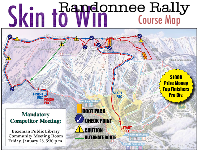
The competitive form of ski touring is often referred to as randonnee racing wherein participants compete in a timed event during which they must move through a course ascending (both skinning and bootpacking) as well as by doing traditional ski descents.
On January 29th, 2011 my local ski hill Bridger Bowl is holding their annual randonnee Race, “Skin to Win”. Two classes are available with the Pro class being required to follow a course with a minimum of 5,000 vertical feet and a Recreational class with a minimum of 2,100 vertical feet.
Competitors are required to carry/use the following equipment:
- 457 kHz avalanche transceiver
- Ascent skins
- Backpack
- Skis/splitboard (with adequate retention devices)
- Helmet
I’ve been wanting to participate in this race for the past two years since moving to Southwest Montana so I’ve got it on my calendar. I am capable of putting in the vertical required for the Pro competition but I typically would require all day to do it. Since this is a competitive format I’ll be entering the Recreational class.
A Blank Canvas Awaits an Artist’s Touch
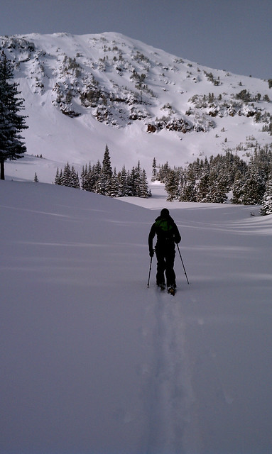
You awake early. Before dawn. You sip steaming coffee from your mug then put it down to focus on gripping the steering wheel against the icy road. You and your partner exchange words of excitement about the upcoming day’s adventure as the sun’s rays begin to filter onto the landscape from over the mountains that fast approach. When you arrive your partner does jumping jacks to stay warm while you are finalizing your gear for the day’s adventure. All is ready. You both depart. The only sound is the creak of each others bindings and skins on snow.
You’ve both hiked this trail multiple times. Winter, Spring, Summer, Fall. But today is exceptional. Today you are the first to arrive. Today it will be your toil, your energy, that breaks the fresh track into the virgin snow. It will be your route choices that determine the skin track others will follow in the days to come. A smile crosses both your faces as you relish in this – which is both a chore and an honor.
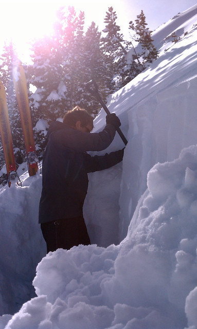
The sun is now full in the sky as you approach the basin below the beautiful easterly face of the mountain you’ve set out to ski. Natural sluff avalanches are the only markings on it’s face, covered in a blanket of fresh snow. It is a canvas awaiting an artist to carve marks along it’s face. But first the artist must be sure all is safe and that making these marks will not anger the mountain. You and your partner discuss where is best to perform your research and begin to dig into the surface of the fresh snow. The results are superb. You feel confident the mountain will not reject your efforts and you continue your approach to the summit.
Your efforts until now have been moderate, you’ve broken trail with your skis but the going has been relatively easy. Now in front of you stands the summit push. The bid for the top which will require post-holing in thigh to armpit deep snow and requiring a heightening of efforts bordering on exhausting. It is a mere few hundred feet but it seems to take an hour. The wind blows from the West as you trudge upward. Upon reaching the top there is time for a quick photo, a discussion of a safe line downward and before you know it you are both into your equipment and the first one drops in. The snow is light and powdery up top with a slight windblown crust a few inches down. With each toeside turn you enter the whiteroom as a blast of powder fills the entirety of your vision. You reach the first safety zone and call to your partner to proceed. You watch quietly as he descends, a smile on your face as he too paints a line into the virgin canvas.
You’ve re-grouped and request your partner take first tracks on the next aspect. He obliges and sets off, laying a beautiful set of turns into the un-tracked slope. Once below and into a safe zone he whoops up at you – a sign it is your turn to drop into a line of such beauty that you are ecstatic to be so privileged. As you point your board downward it follows the fall line and you only swerve marginally – choosing instead to let gravity be your guide, and speed be your purpose. The smile that has formed on your face at the bottom can only be enlarged by the thought that you are setting out to transition to skin-mode, re-climb the line and ride it again.
The daylight will come to an end soon and civilization calls. Your partner has obligations and regardless of your excitement you both know your strength will fade and that you still have a four mile ski back to the car. Fortunately it is mostly downhill and you set out. There is another hundred or so vertical of powder to be enjoyed as you exit but it is mostly a tight line following the skin track. You move through it quickly and efficiently stopping only occasionally to make sure each other still making progress.
Arrival at the car is bittersweet. The day has been superb. You give each other high fives and hugs because it has been so superb. You don your puffy coats and pull your coffee thermoses out of your packs to sip the remaining warm sips from them as you wait for the windows on the Subaru to defrost. You are both smiling inside and out and are appreciative of each others company but mostly are appreciative of the landscape in which you live. It is beautiful. It is powerful. It is dangerous. You can find ways to dance with this partner that will exhaust your lungs and exhaust your muscles but all the while fulfill your soul.
November Splitboarding and Backcountry Skiing
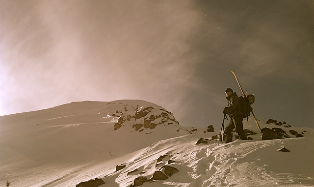
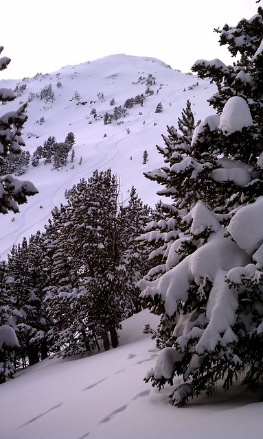
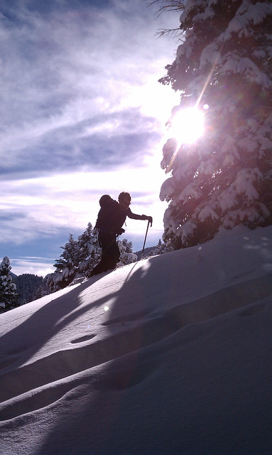
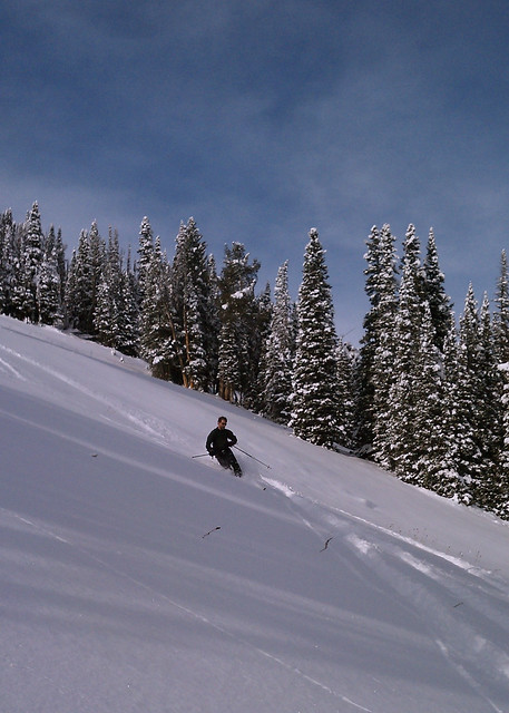
The past three days my little neck of SW Montana has been getting slammed with new snow and high winds. The avalanche report was warning against wind-loading off ridgetops and was reporting the mountains immediately South of Bozeman had received an inch of snow water (approx. 16″ of snow). My buddy Taylor and I wanted to do some backcountry skiing but opted to visit a low-angle zone wherein we hoped to find some powdery slopes without wind slabs having formed. Taylor introduced me to a new zone I’d not even hiked in the summer months yet and that ended up being very safe yet super rewarding.
A two hour hike starting at the History Rock trailhead located in Hyalite Canyon of the Gallatin National Forest brought us through three large snowfields ranging in steepness in the low 30 degree range. These three fields were separated by short sections of tight trees. Upon reaching the “top” of the ridge we planned to ski we opted to lap the upper snowfield three times where we ended up being joined by two other groups. We were able to get fresh tracks down this section for all three laps even though by the end of our stay there were eight skiiers and four dogs there (including us).
Backpacking the Spanish Peaks of the Madison Range
The crew I was part of in college refers to ourselves as Flavor Country and a small subset of this crew has been taking an annual backpacking trip since somewhere around 2002 or 2003. I and my roomate (also a part of Flavor Country) have the fortune of living in a place where there is ample and awesome backpacking so a couple of the guys from the Midwest came out to visit last week and we hit the trail for four days and three nights.
Excessively Late Season Attempt at Snowboarding
If only I had more “on it” a couple weeks ago when we had a bit of early September snow I could have hiked up to the permanent snowfield located in the couloir of “The Great One”, found it covered in a couple inches of freshies, made some turns and been happy. But Mike and I had planned to go backpacking that weekend and we headed up to the base of Mount Blackmore instead and although it was a great camping trip I’m still kicking myself for not having gotten some snowboarding done.
A really terrible phone-cam photo of The Great One
It’s been on my life-list of goals to snowboard at least once per month for twelve consecutive months. This season I took a splitboarding trip to Pine Creek Lake in July and then went again in August. Having complete those two months I decided I might as well have a go at September as well.
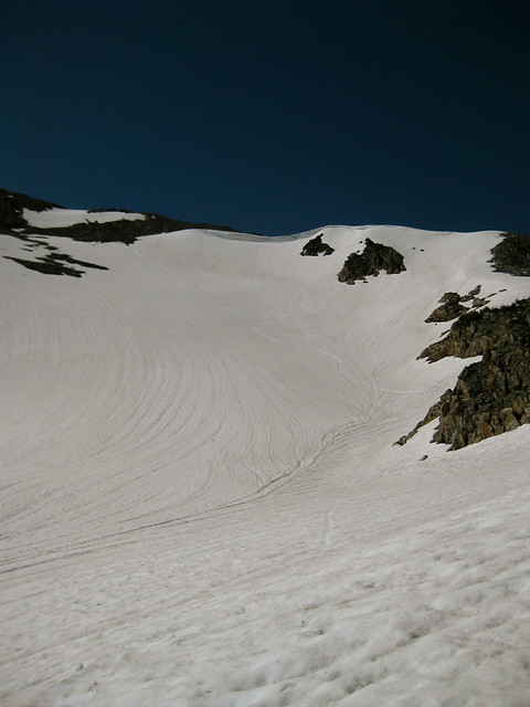
I finished up my work day quickly, left the office, went home, gathered my gear, and drove to the trailhead arriving at 14:45. I set out at a full on speed pace gaining the ridge-top in under thirty minutes and arrived atop the couloir soon after. The couloir, although a permanent snowfield does melt out from the top, bottom, and sides. I had to down-climg a significant distance to reach the snowline.

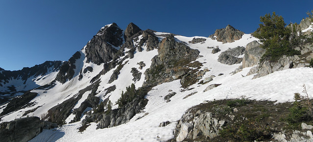
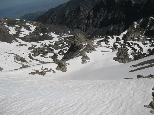
Looking down The Great One in late September
While holding my board I sliced the edge of it into the snow and found the consistency to be icy and showing little signs of give. At this point in time I was worried I wouldn’t get to ride the line at all because I was solo and could not risk an uncontrolled, sliding fall to the rocks below. I opted to down-climb along the skiers-right edge of the snowfield along exposed rocks to a place where some remnants from the two-weeks-previous snowfall remained. From here I was able to strap into my board and make some sketchy heel edge slides through the snow-choked portion of the couloir.
It became obvious that the icy couloir was simply too hard for me to attain any purchase with the edge of my snowboard so I unstrapped and hobbled my way down the steep talus. I had managed to break one of my trekking poles by dropping off a small section of class III rock I needed to down-climb above so I was pretty unbalanced with my snowboard strapped to my pack and the looseness of the rock.

Broken carbon fiber trekking poles
I exited the couloir and found my way to the bottom of the basin wherein I was interested to find the remains of a crashed airplane. I had not seen this on my last trip as it had been covered in snow. I’ll need to look into the history of that as it’s not too often one encounters this sort of thing. I arrived back at the trailhead with a round-trip from car-to-car of about 2:40 which, given the slowness of my descent along the snow I feel is a pretty good time.
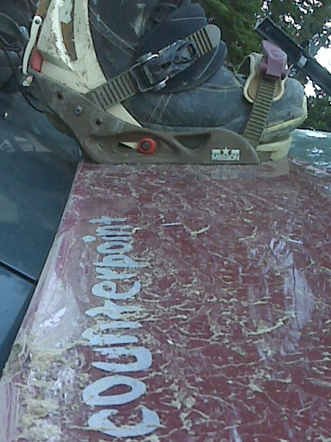
Summer snowboarding means muddy boots and board
Trip Route on EveryTrail.com
Russell Lake Trail; Beartooth Mountain Range; Cooke City, Montana
Splitboarding and Backpacking in July
Friday, July 9th, 2010 I walked out of the office at 17:00, was home and had a lightweight gear set-up for both backpacking and splitboarding packed and in the trunk of my Subaru by 18:40. My destination was the Pine Creek trailhead in the Northwest corner of the Absaroka Mountain Range and I arrived by 19:40. I knew daylight would leave me sometime between 21:30 and 22:00 so I shouldered my load and high-tailed it onto the five mi. (eight km) Pine Creek Lake trail.
Being an ultralight backpacker it was strange to have the added weight of snowboard, boots, avalanche safety tools, and ice axe. The moving was a bit slower but it felt good to be moving as day slowly turned to night, temperatures dropped, and I got further and further into the Absaroka Beartooth Wilderness.
I hiked until 21:30 and stopped to make use of the last bits of daylight to set up my minimal camp consisting of an eVent bivy sack, synthetic sleeping quilt, and torso-length sleeping pad. I strung my bear rope, set up my alcohol stove and prepared some instant mashed potatoes as the sun set over the Gallatin Mountain Range and Paradise Valley to the West. Sleep came to me by 22:00.
I awoke at 06:00 and was hiking within twenty minutes, chomping on an energy bar and sipping water from my hydration system. About 30 minutes of hiking brought me to the end of the trail and into the snowy bowl that is Pine Creek Lake. A large iceberg was still floating in the lake and the cirque held a fair amount of snow – – a soothing site for me as I had lugged many pounds of snowboard gear into terrain of which I knew little about the snow conditions other than my previous trip two years before.
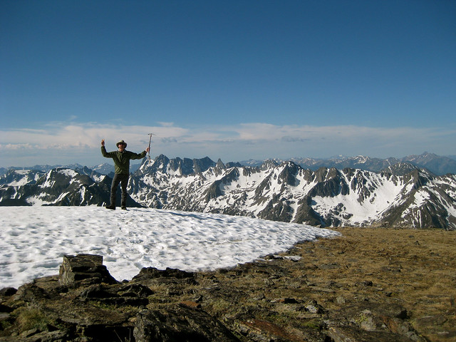
By 09:30 I had summited Black Mountain (read Summit Post profile) using methods of walking, skinning, and ski crampons. I was slightly undernourished having had only one energy bar and one GU but I made decent time and was in great spirits. I spent a few minutes on the relatively snow-free summit and then descended to the large snow bowl that I planned to ride.
The snowboarding was quite delicious and I was able to get approximately 1,000 vertical feet (304 m) of riding in. The top 800′ (244 m) was wonderful corn snow that didn’t grab the board in the least and allowed for me to arc some nice, large GS turns.
Proceeding past a flat spot at the bottom of the large bowl and sliding over a little roll put me onto a different aspect that consisted of some fun slaloming through large boulders in snow of a slushy quality for about 200′ (61 m) vertical.
I swapped out the snowboard gear for shorts, trailrunners, sunscreen, took a few swigs of the refreshing snowmelt water that was all around me and headed down the trail. Arrival back at my Subaru was around 13:30 leaving me plenty of time to return home and shower before heading into downtown Bozeman for the bicycle sprints portion of the Tour of Bozeman race series.
West Fork Boulder River, Absaroka Beartooth Wilderness
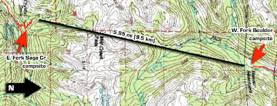
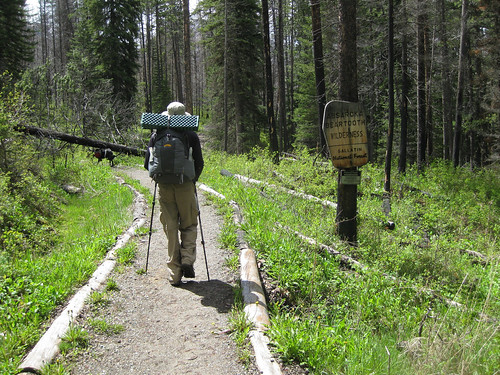
Mike and I were poring over our the excellent Absaroka Beartooth from Beartooth Publishing looking for a trail of decent length that stayed below 7,000 ft. (2133 m) elevation as we expected this was the approximate snow line. We chose a trail along the West Fork of the Boulder River that could be hiked for over ten miles in all while staying below the magic 7k topo line. We were pretty certain this was snowline as we had hiked into the East Fork of Sage Creek the week before – a drainage that butts up against the West Fork and therefore should have represented similar weather systems.
June 5th, U.S. National Trails Day (and my brother’s birthday) we set off from Bozeman around 9:30 am stopping to acquire 375 mL of Jameson whisky on our way out of town. The weather was gorgeous and the 50 mi (80 km) drive relaxing.
I had hiked this drainage in 2008 as part of the Backpacking Light Wilderness Trekking III expedition (a trip report I plan to finally write this summer) 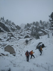 so I was familiar with some aspects of the hike although my previous trip was in October and there was knee-deep snow covering everything. The sun was out but the previous week’s weather had created pretty muddy trails and the snowmelt and rain had the tributary creeks flowing like crazy.
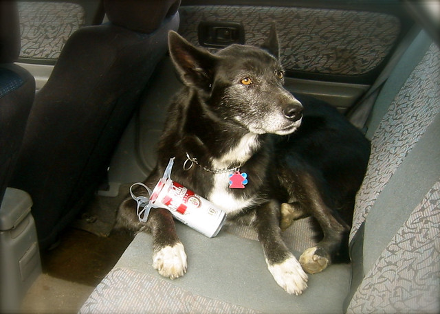
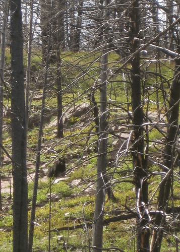
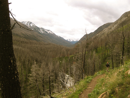
We set off to a nice pace with Jax dog often running off to chase Elk, deer, marmot (one of which we’re pretty sure he mortally wounded), and the like. At one point in the trip Mike stopped and called out to me to stop and look up the hill. To our delight a black bear was walking across the hillside and very visible to us through the forest denuded of vegetation by a forest fire.
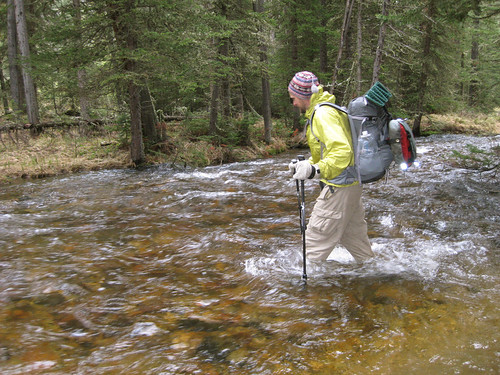
We hiked about nine miles to a spot on the map called Beaver Meadows which was situated just below 7,000 ft. It was a gorgeous, grassy, flat island in the middle of the river and although we’d forded four other fast flowing tributary creeks and had spent half the day walking through ankle deep, muddy trails we were wary of crossing the fast, cold, and deep water of the river.
Our shoes and socks had dried from walking to a state of warm dampness and as it was approaching 17:30 we weren’t about to completely soak ourselves again so we stripped our pants and shoes off and made the crotch-deep crossing swiftly in an attempt (a failed one) to stave off numbness. Upon reaching the other side we quickly did some calisthenics to warm up and then set off to hunt the island for fire wood.
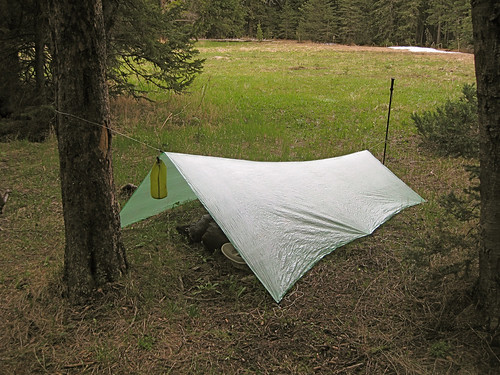
Temperatures that evening only got down to 41 deg F (5 deg C) so we both slept soundly listening to the pitter patter of raindrops on Mike’s Oware Cat II and my BPL Stealth Nano tarps. We were camped only a stone’s throw from the soothing sounds of the rushing river.
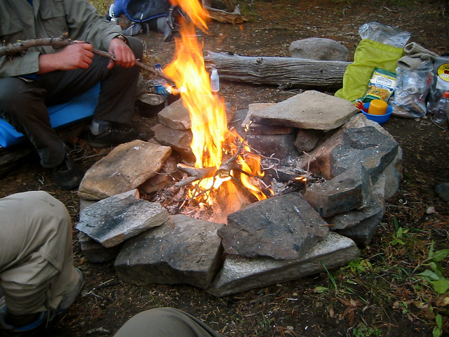
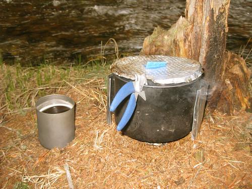
In the morning we found solace from the falling rain under the canopy of low hanging conifer boughs and cooked up breakfast and coffee on my trusty Whitebox Stove an AntiGravityGear Two Quart pot.
After we began to warm up after re-fording the river back to the trail the sun ended up coming out making for a pleasant journey back down river to the trailhead, car, and waiting beer and potato chip stash.


